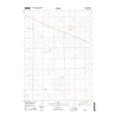
2015 Map of Node
USGS Topo · Published 2015About this map
Node stands as a small settlement in the High Plains of Niobrara County, situated along a transportation corridor that follows the gentle valley of the Niobrara River. This 2015 survey reveals a landscape organized by the Public Land Survey System, where long-established family ranching and farming routes like Pfister Farm Rd and Kaan Rd grid the high prairie. The hydrology of the region is defined by intermittent drainage systems, including Evergreen Cr and Duck Cr, which feed toward the main river channel. South of the river, the terrain becomes more distinct, highlighted by the geological landmark Chimney Rock. The map illustrates the sparse, rural nature of eastern Wyoming, where life is shaped by the watercourses of Silver Springs Cr and the vast stretches of open rangeland between the township boundaries of T31N and T32N.
Find a feature on this map
17 named features on this map. Tap any name to fly to it.
Don’t see what you’re looking for? This feature index may not catch every label — zoom into the map to look around manually.
Map Details
Editions of this 2015 Node Map
This is the sole edition of this map. No revisions or reprints were ever made.
Other maps of this area
1954 · Torrington
USGS Topo · 1:250,000
1958 · Torrington
USGS Topo · 1:250,000
1974 · Mc Master Reservoir
USGS Topo · 1:24,000
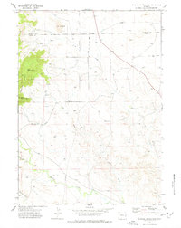
1974 · Rawhide Buttes East
USGS Topo · 1:24,000
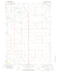
1974 · Reynolds Spring
USGS Topo · 1:24,000
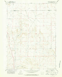
1977 · Hileman Draw
USGS Topo · 1:24,000
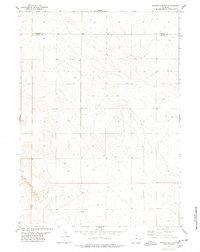
1977 · Prairie Center
USGS Topo · 1:24,000
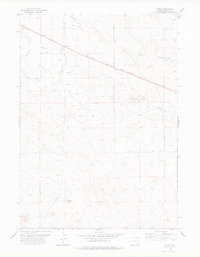
1978 · Node
USGS Topo · 1:24,000
1978 · Kirtley SW
USGS Topo · 1:24,000
1981 · Lusk
USGS Topo · 1:24,000