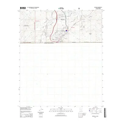
2014 Map of Nogales
USGS Topo · Published 2014About this map
Nogales serves as a critical gateway at the international boundary between the United States and Mexico, anchoring this survey of the high desert terrain in Santa Cruz County. The landscape is defined by the steep relief of the Coronado National Forest to the west and a series of rugged drainages including Mariposa Canyon, Proto Canyon, and Brickwood Canyon to the east. The urban core is clustered around the Nogales Wash and the prominent Crawford Hill, where a dense network of residential streets like W Noon St and W Ellis St meet the industrial corridors near N Industrial Park Dr. This modern era mapping details the significant infrastructure of the border region, from the Interstate 19 terminus to local community landmarks such as the Ione Marcus Gordon Memorial Park.
Find a feature on this map
61 named features on this map. Tap any name to fly to it.
Don’t see what you’re looking for? This feature index may not catch every label — zoom into the map to look around manually.
Map Details
Editions of this 2014 Nogales Map
This is the sole edition of this map. No revisions or reprints were ever made.
Other maps of this area
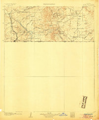
1905 · Nogales
USGS Topo · 1:125,000
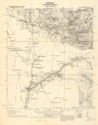
1921 · Old Glory
USGS Topo · 1:125,000
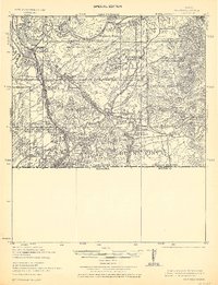
1933 · Calabasas
USGS Topo · 1:62,500
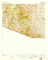
1942 · Ruby
USGS Topo · 1:62,500
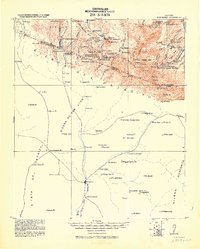
1943 · Old Glory
USGS Topo · 1:125,000
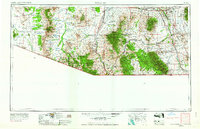
1956 · Nogales
USGS Topo · 1:250,000
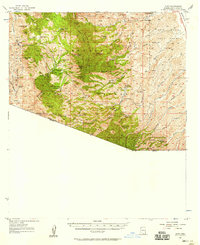
1957 · Ruby
USGS Topo · 1:62,500
1958 · Nogales
USGS Topo · 1:250,000
1958 · Nogales
USGS Topo · 1:62,500
1959 · Nogales
USGS Topo · 1:250,000