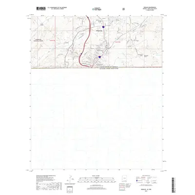
2018 Map of Nogales
USGS Topo · Published 2018About this map
Nogales serves as a pivotal border gateway in this detailed 2018 survey, centered on the international boundary between the United States of America and Estados Unidos Mexicanos. The landscape is defined by its dramatic relief, with the urban grid climbing over Crawford Hill and into the surrounding drainages. Water management in this arid environment is evidenced by features like Cautiva Tank and the seasonal flow of Potrero Cr and the Nogales Wash.
Find a feature on this map
60 named features on this map. Tap any name to fly to it.
Don’t see what you’re looking for? This feature index may not catch every label — zoom into the map to look around manually.
Map Details
Editions of this 2018 Nogales Map
This is the sole edition of this map. No revisions or reprints were ever made.
Other maps of this area
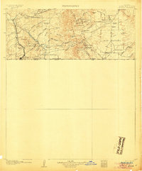
1905 · Nogales
USGS Topo · 1:125,000
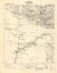
1921 · Old Glory
USGS Topo · 1:125,000
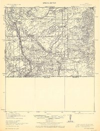
1933 · Calabasas
USGS Topo · 1:62,500
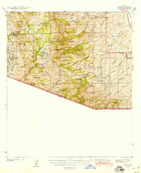
1942 · Ruby
USGS Topo · 1:62,500
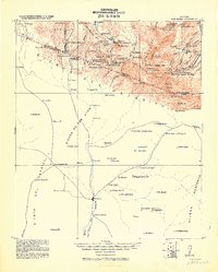
1943 · Old Glory
USGS Topo · 1:125,000
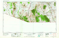
1956 · Nogales
USGS Topo · 1:250,000
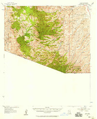
1957 · Ruby
USGS Topo · 1:62,500
1958 · Nogales
USGS Topo · 1:250,000
1958 · Nogales
USGS Topo · 1:62,500
1959 · Nogales
USGS Topo · 1:250,000