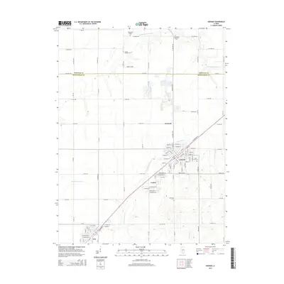
2015 Map of Nokomis
USGS Topo · Published 2015About this map
Nokomis and its neighboring villages of Coalton and Witt anchor this section of the Illinois prairie, where the county line separates Christian Co and Montgomery Co. The landscape is defined by the headwaters of several drainages, including the S Fork Sangamon River to the north and the E Fork Shoal Cr which winds through the residential streets of Nokomis. Genealogists will find several well-preserved burial grounds, such as Saint Louis Cem and Oak Grove Cem, alongside rural church sites like Antioch Methodist Cem. The map illustrates a meticulously planned grid of rural routes, including Taylorville Rd and N 1400 East Rd, which connect these small agricultural centers. Transport and local infrastructure are represented by the Dahler Airport and the concentrated street networks of the four primary settlements.
Find a feature on this map
98 named features on this map. Tap any name to fly to it.
Don’t see what you’re looking for? This feature index may not catch every label — zoom into the map to look around manually.
Map Details
Editions of this 2015 Nokomis Map
This is the sole edition of this map. No revisions or reprints were ever made.
Other maps of this area
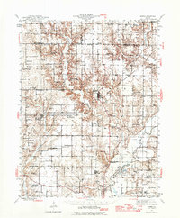
1944 · Ramsey
USGS Topo · 1:62,500
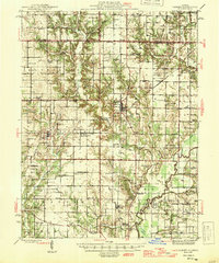
1946 · Ramsey
USGS Topo · 1:62,500
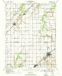
1946 · Nokomis
USGS Topo · 1:62,500
1947 · Pana
USGS Topo · 1:62,500
1947 · Hillsboro
USGS Topo · 1:62,500
1949 · Hillsboro
USGS Topo · 1:62,500
1949 · Nokomis
USGS Topo · 1:62,500
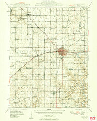
1949 · Pana
USGS Topo · 1:62,500
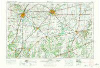
1958 · Decatur
USGS Topo · 1:250,000
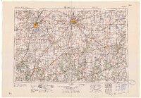
1961 · Decatur
USGS Topo · 1:250,000