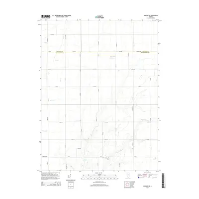
2015 Map of Nokomis SW
USGS Topo · Published 2015About this map
Lake Glenn Shoals dominates the southern landscape of this central Illinois region, marking a significant water feature at the junction of Christian and Montgomery counties. The area is defined by its agricultural grid, intersected by a network of rural routes such as N 24th Ave and E 1800 North Rd. Waterways like Bear Cr, Blue Grass Cr, and Middle Fork Shoal Cr drain the terrain, which transitions into the natural depression of Fox Hollow to the southeast. A clear picture of local aviation and memorial history emerges through the presence of the Alan B. Janssen Airport and Saint John's Cem. Unique road designations like Oil Field Ave and named paths such as Borgic Trl and Montgomery Trl suggest a landscape shaped by both private land use and local industry.
Find a feature on this map
40 named features on this map. Tap any name to fly to it.
Don’t see what you’re looking for? This feature index may not catch every label — zoom into the map to look around manually.
Map Details
Editions of this 2015 Nokomis SW Map
This is the sole edition of this map. No revisions or reprints were ever made.
Other maps of this area
1915 · Mount Olive
USGS Topo · 1:62,500
1923 · Raymond
USGS Topo · 1:62,500
1925 · Raymond
USGS Topo · 1:62,500
1944 · Mount Olive
USGS Topo · 1:62,500
1946 · Nokomis
USGS Topo · 1:62,500
1947 · Hillsboro
USGS Topo · 1:62,500
1949 · Hillsboro
USGS Topo · 1:62,500
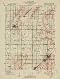
1949 · Nokomis
USGS Topo · 1:62,500
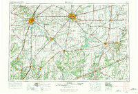
1958 · Decatur
USGS Topo · 1:250,000
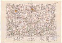
1961 · Decatur
USGS Topo · 1:250,000