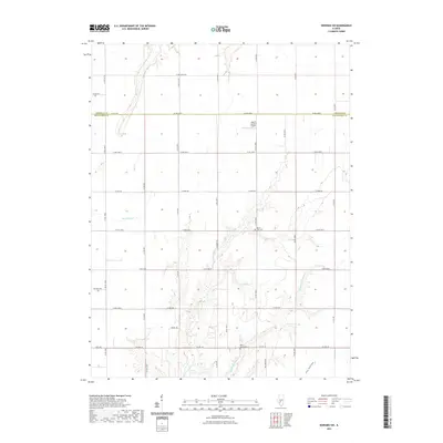
2021 Map of Nokomis SW
USGS Topo · Published 2021About this map
Middle Fork Shoal Creek and its branching tributaries carve a network of drainage across this central Illinois agricultural landscape. The map captures the divide between Christian and Montgomery counties, where a highly structured grid of section-line roads like N 20th Ave and Co Rd 1500 E facilitates movement between expansive farm tracts. Cultural landmarks are primarily concentrated around historical sites of community gathering, such as Saint Johns Cemetery and Mount Zion Cemetery. Aviation in the region is represented by the Alan B Janssen Airport, located just north of the county boundary. The southern portion of the sheet is marked by more varied terrain near Fox Hollow, where the elevation begins to drop toward the creek bed, contrasting with the flat prairie topography found along Blue Grass Creek and Bear Creek in the northwest.
Find a feature on this map
42 named features on this map. Tap any name to fly to it.
Don’t see what you’re looking for? This feature index may not catch every label — zoom into the map to look around manually.
Map Details
Editions of this 2021 Nokomis SW Map
This is the sole edition of this map. No revisions or reprints were ever made.
Other maps of this area

1915 · Mount Olive
USGS Topo · 1:62,500

1923 · Raymond
USGS Topo · 1:62,500

1925 · Raymond
USGS Topo · 1:62,500

1944 · Mount Olive
USGS Topo · 1:62,500

1946 · Nokomis
USGS Topo · 1:62,500

1947 · Hillsboro
USGS Topo · 1:62,500

1949 · Hillsboro
USGS Topo · 1:62,500

1949 · Nokomis
USGS Topo · 1:62,500

1958 · Decatur
USGS Topo · 1:250,000

1961 · Decatur
USGS Topo · 1:250,000