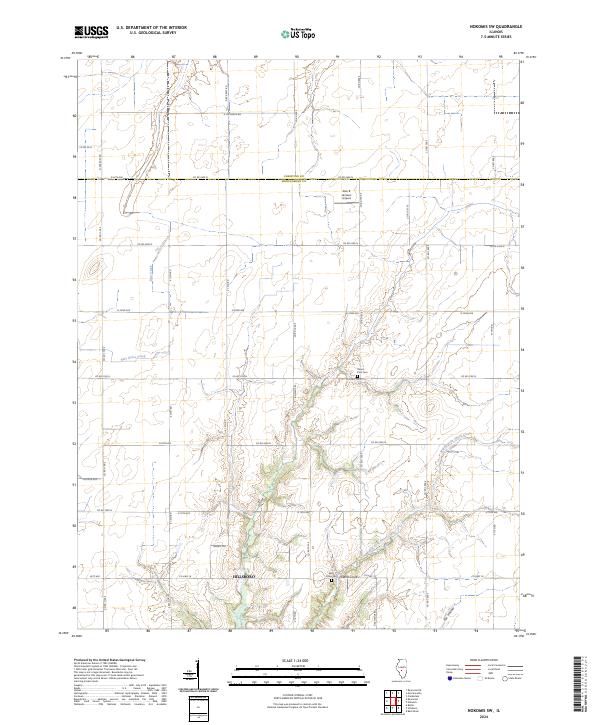
2024 Map of Nokomis SW
USGS Topo · Published 2024About this map
Hillsboro anchor the southern portion of this landscape, marking a transition from the agricultural plains of the north to the more dissected terrain of the south. The area is defined by the drainage networks of Middle Fork Shoal Creek, Blue Grass Creek, and Bear Creek, which carve through the Montgomery County soil. These waterways create a distinct topographical contrast against the rigid grid of county roads such as Co Rd 2400 N and Co Hwy 18.
Find a feature on this map
44 named features on this map. Tap any name to fly to it.
Don’t see what you’re looking for? This feature index may not catch every label — zoom into the map to look around manually.
Map Details
Editions of this 2024 Nokomis SW Map
This is the sole edition of this map. No revisions or reprints were ever made.
Other maps of this area

1915 · Mount Olive
USGS Topo · 1:62,500

1923 · Raymond
USGS Topo · 1:62,500

1925 · Raymond
USGS Topo · 1:62,500

1944 · Mount Olive
USGS Topo · 1:62,500

1946 · Nokomis
USGS Topo · 1:62,500

1947 · Hillsboro
USGS Topo · 1:62,500

1949 · Hillsboro
USGS Topo · 1:62,500

1949 · Nokomis
USGS Topo · 1:62,500

1958 · Decatur
USGS Topo · 1:250,000

1961 · Decatur
USGS Topo · 1:250,000