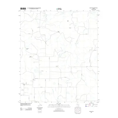
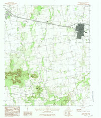
2012 Map of Nolan
USGS Topo · Published 2012About this map
Nolan serves as the primary hub in this West Texas landscape, where ranch roads and county routes intersect across a terrain marked by prominent landmarks like Indian Hand Bluff and Birdsnest Bluff. The settlement pattern is defined by the drainage systems of Weaver Springs Cr to the north and Mulberry Cr to the east, which carve through the plateau. Local history and genealogy are preserved at Slater Chapel Cem and Dora Cem, sites that anchor the rural community. The map illustrates a network of transportation routes, including Ranch Road 126 and FM-89, which connect the scattered homesteads and ranches. Significant topographical markers such as Black Point, Ringtop, and Coffee Hollow provide a detailed look at the physical geography that has influenced land use and cattle ranching in Nolan County for generations.
Find a feature on this map
36 named features on this map. Tap any name to fly to it.
Don’t see what you’re looking for? This feature index may not catch every label — zoom into the map to look around manually.
Map Details
Editions of this 2012 Nolan Map
This is the sole edition of this map. No revisions or reprints were ever made.
Other maps of this area
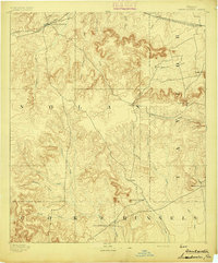
1893 · Sweetwater
USGS Topo · 1:125,000

1954 · Big Spring
USGS Topo · 1:250,000
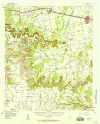
1957 · Merkel
USGS Topo · 1:62,500

1958 · Big Spring
USGS Topo · 1:250,000
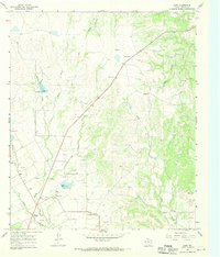
1967 · Shep
USGS Topo · 1:24,000
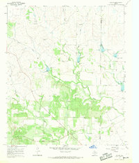
1967 · Hylton
USGS Topo · 1:24,000
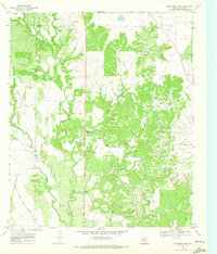
1969 · Blackwell NE
USGS Topo · 1:24,000
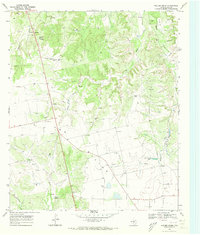
1969 · Holder Creek
USGS Topo · 1:24,000
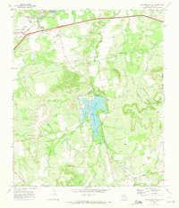
1969 · Lake Sweetwater
USGS Topo · 1:24,000
1984 · Merkel West
USGS Topo · 1:24,000