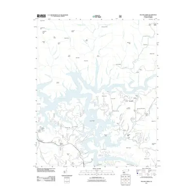
2011 Map of Noland Creek
USGS Topo · Published 2011About this map
The Tuckasegee River and Fontana Lake dominate this Swain County landscape, where the rising waters created an intricate shoreline of coves and ridges. The settlement of Roundhill serves as a local focal point near Roundhill Cemetery and Jenkins Cemetery. The terrain is marked by numerous family-named landmarks and historical sites, including Carson Mill and a series of cemeteries such as McClure Cemetery, Woody Cemetery, and Stiles Cemetery that speak to the area's ancestral roots.
Find a feature on this map
130 named features on this map. Tap any name to fly to it.
Don’t see what you’re looking for? This feature index may not catch every label — zoom into the map to look around manually.
Map Details
Editions of this 2011 Noland Creek Map
This is the sole edition of this map. No revisions or reprints were ever made.
Other maps of this area

1886 · Knoxville
USGS Topo · 1:125,000

1891 · Cowee
USGS Topo · 1:125,000

1892 · Knoxville
USGS Topo · 1:125,000

1893 · Mt Guyot
USGS Topo · 1:125,000

1894 · Knoxville
USGS Topo · 1:125,000

1895 · Knoxville
USGS Topo · 1:125,000

1897 · Cowee
USGS Topo · 1:125,000

1901 · Knoxville
USGS Topo · 1:125,000

1907 · Cowee
USGS Topo · 1:125,000

1912 · Mt Guyot
USGS Topo · 1:125,000