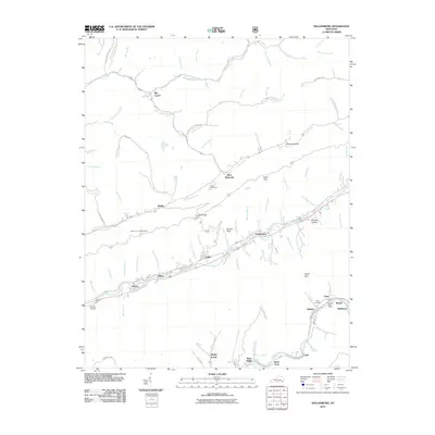
2011 Map of Nolansburg
USGS Topo · Published 2011About this map
Nolansburg sits at the heart of this Appalachian landscape, where the Clover Fork Cumberland River winds through the valley floor. The settlement patterns follow the narrow corridors created by the terrain, with clusters like Laden, Dillon, and Shields tracing the riverbanks and rail lines. To the north, the elevation rises sharply toward Pine Mountain and Shell Gap, creating a natural barrier that funnels movement into the lowlands.
Find a feature on this map
90 named features on this map. Tap any name to fly to it.
Don’t see what you’re looking for? This feature index may not catch every label — zoom into the map to look around manually.
Map Details
Editions of this 2011 Nolansburg Map
This is the sole edition of this map. No revisions or reprints were ever made.
Other maps of this area

1887 · Jonesville
USGS Topo · 1:125,000

1891 · Hazard
USGS Topo · 1:125,000

1891 · Jonesville
USGS Topo · 1:125,000

1903 · Harlan
USGS Topo · 1:48,000

1916 · Cornettsville
USGS Topo · 1:62,500

1916 · Harlan
USGS Topo · 1:48,000

1916 · Nolansburg
USGS Topo · 1:48,000

1916 · Hyden
USGS Topo · 1:48,000

1919 · Nolansburg
USGS Topo · 1:62,500

1919 · Hyden
USGS Topo · 1:62,500