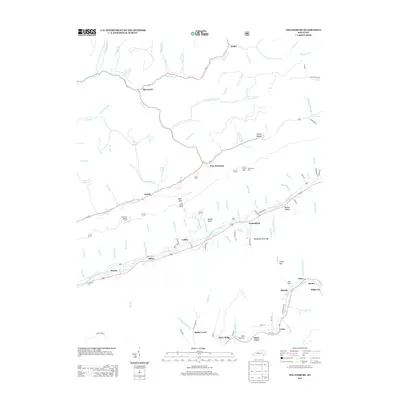
2013 Map of Nolansburg
USGS Topo · Published 2013About this map
The Poor Fork Cumberland River and Clover Fork Cumberland River valleys define the rugged geography of this southeastern Kentucky landscape. Small settlements and mountain communities such as Nolansburg, Putney, and Big Laurel are linked by a network of hollows and gaps, including the distinctive Backbone Rock Gap and Shell Gap. This mapping captures the area's rural character and complex topography, featuring prominent landmarks like the Beschman Lookout Tower standing watch over the ridgelines.
Find a feature on this map
114 named features on this map. Tap any name to fly to it.
Don’t see what you’re looking for? This feature index may not catch every label — zoom into the map to look around manually.
Map Details
Editions of this 2013 Nolansburg Map
This is the sole edition of this map. No revisions or reprints were ever made.
Other maps of this area

1887 · Jonesville
USGS Topo · 1:125,000

1891 · Hazard
USGS Topo · 1:125,000

1891 · Jonesville
USGS Topo · 1:125,000

1903 · Harlan
USGS Topo · 1:48,000

1916 · Cornettsville
USGS Topo · 1:62,500

1916 · Harlan
USGS Topo · 1:48,000

1916 · Nolansburg
USGS Topo · 1:48,000

1916 · Hyden
USGS Topo · 1:48,000

1919 · Nolansburg
USGS Topo · 1:62,500

1919 · Hyden
USGS Topo · 1:62,500