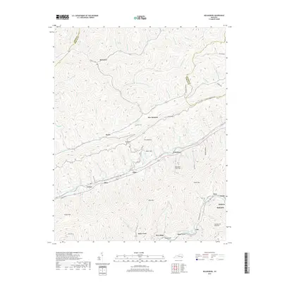
2019 Map of Nolansburg
USGS Topo · Published 2019About this map
Pine Mountain and Cumberland Mountain dominate this corner of the Appalachian coalfields, where the Poor Fork Cumberland River carves a narrow valley through southeastern Kentucky. This topographic record documents a landscape defined by industrial settlements and family heritage, showing the proximity of the Kelly Cem and Nolan Cem to the homes of the valley floor. The settlement pattern follows the river and rail corridors, connecting communities such as Putney, Dillon, and Nolansburg.
Find a feature on this map
101 named features on this map. Tap any name to fly to it.
Don’t see what you’re looking for? This feature index may not catch every label — zoom into the map to look around manually.
Map Details
Editions of this 2019 Nolansburg Map
This is the sole edition of this map. No revisions or reprints were ever made.
Other maps of this area

1887 · Jonesville
USGS Topo · 1:125,000

1891 · Hazard
USGS Topo · 1:125,000

1891 · Jonesville
USGS Topo · 1:125,000

1903 · Harlan
USGS Topo · 1:48,000

1916 · Cornettsville
USGS Topo · 1:62,500

1916 · Harlan
USGS Topo · 1:48,000

1916 · Nolansburg
USGS Topo · 1:48,000

1916 · Hyden
USGS Topo · 1:48,000

1919 · Nolansburg
USGS Topo · 1:62,500

1919 · Hyden
USGS Topo · 1:62,500