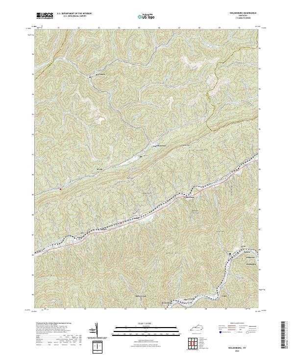
2022 Map of Nolansburg
USGS Topo · Published 2022About this map
Pine Mountain dominates the central landscape of this Harlan County region, serving as a massive geological spine that dictates the placement of settlements and transport routes. Along its southern base, the Poor Fork Cumberland River carves a narrow valley that hosts a dense string of communities including Nolansburg, Laden, Dillon, and Putney. This corridor is defined by the tight proximity of the river, rail lines, and highways, illustrating the classic Appalachian development pattern where industrial and residential life is compressed between steep slopes.
Find a feature on this map
105 named features on this map. Tap any name to fly to it.
Don’t see what you’re looking for? This feature index may not catch every label — zoom into the map to look around manually.
Map Details
Editions of this 2022 Nolansburg Map
This is the sole edition of this map. No revisions or reprints were ever made.
Historical Maps of Divide Through Time
10 maps found

1916 Nolansburg
Harlan County, KY
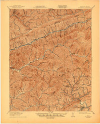
1919 Nolansburg
Harlan County, KY
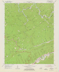
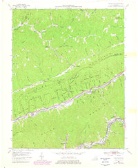
1954 Bledsoe
Harlan County, KY
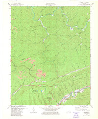
1954 Louellen
Harlan County, KY
1954 Nolansburg
Harlan County, KY

1977 Middlesboro
Harlan County, KY
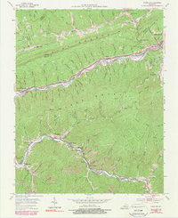
1980 Bledsoe
Harlan County, KY
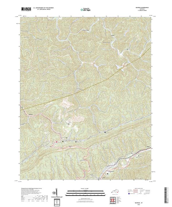
2022 Bledsoe
Harlan County, KY
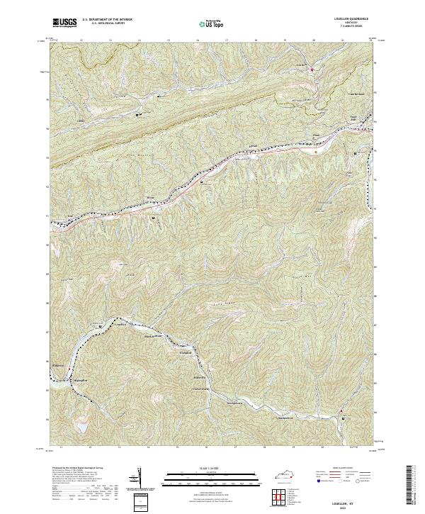
2022 Louellen
Harlan County, KY
2022 Nolansburg
Harlan County, KY