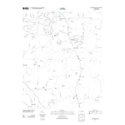
2013 Map of Nolensville
USGS Topo · Published 2013About this map
Nolensville serves as the central hub of this Nashville-area landscape, appearing here amidst a period of notable residential expansion. The layout of established communities like Concord Forest, Stonebrook, and Sunset Acres contrasts with the surrounding agricultural origins of the region. Local genealogy is anchored in the diverse terrain, from the Holt Knobs in the northwest to the family-named high points such as McMahan Knob and Jenkins Hill. The drainage patterns of Mill Cr and Arrington Cr define the valleys where older landmarks like Molly Hollow and Palmore Hollow are situated. Further south, developments such as Hickory Hills and Lake Colonial Estates indicate the suburban shift toward the Canaan Farms area. This survey documents the intersection of modern road networks like Edmondson Pike with the traditional rural character of the Williamson and Davidson County line.
Find a feature on this map
170 named features on this map. Tap any name to fly to it.
Don’t see what you’re looking for? This feature index may not catch every label — zoom into the map to look around manually.
Map Details
Editions of this 2013 Nolensville Map
This is the sole edition of this map. No revisions or reprints were ever made.
Other maps of this area

1903 · Nashville
USGS Topo · 1:125,000

1909 · Franklin
USGS Topo · 1:62,500

1932 · Hermitage
USGS Topo · 1:62,500

1932 · Nashville
USGS Topo · 1:62,500

1936 · Bethesda
USGS Topo · 1:24,000

1942 · Lebanon
USGS Topo · 1:100,000

1946 · Bethesda
USGS Topo · 1:24,000

1949 · Franklin
USGS Topo · 1:24,000
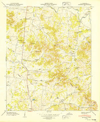
1949 · Bethesda
USGS Topo · 1:24,000

1952 · La Vergne
USGS Topo · 1:24,000