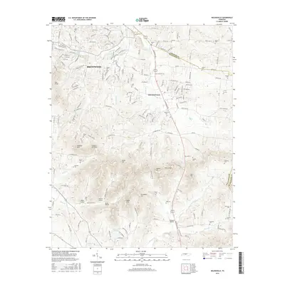
2016 Map of Nolensville
USGS Topo · Published 2016About this map
Nolensville and the eastern edge of Brentwood anchor this mid-2010s study of the southern Nashville suburbs. The landscape is defined by its numerous small family and community burial grounds, such as Battle Cem, Chrisman Cem, and McFarlin Cem, which provide significant genealogical value for researchers tracing local lineages. The terrain transitions from residential developments in the north to the more prominent elevations of Holt Knobs, McMahan Knob, and Potato Hill in the south.
Find a feature on this map
177 named features on this map. Tap any name to fly to it.
Don’t see what you’re looking for? This feature index may not catch every label — zoom into the map to look around manually.
Map Details
Editions of this 2016 Nolensville Map
This is the sole edition of this map. No revisions or reprints were ever made.
Other maps of this area

1903 · Nashville
USGS Topo · 1:125,000

1909 · Franklin
USGS Topo · 1:62,500

1932 · Hermitage
USGS Topo · 1:62,500

1932 · Nashville
USGS Topo · 1:62,500

1936 · Bethesda
USGS Topo · 1:24,000

1942 · Lebanon
USGS Topo · 1:100,000

1946 · Bethesda
USGS Topo · 1:24,000

1949 · Franklin
USGS Topo · 1:24,000
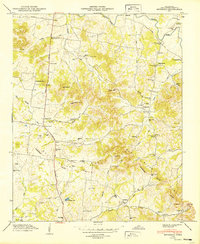
1949 · Bethesda
USGS Topo · 1:24,000

1952 · La Vergne
USGS Topo · 1:24,000