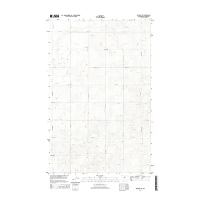
2014 Map of Noonan SW
USGS Topo · Published 2014About this map
The northern reaches of the Williston Basin define this landscape in Divide County, where a rigid section-line road network organizes the undulating terrain. Primary transit through this rural prairie is anchored by Cr-17, which runs north-to-south, intersecting an orderly grid of local routes like 100th St NW and 94th St NW. This 2014 survey illustrates a region largely dedicated to open-space agricultural or mineral use, where the absence of named towns emphasizes the importance of individual range roads such as 118th Ave NW and 113th Ave NW for navigating the remote topography. The map serves as a clear record of the modern rural infrastructure used to manage the vast reaches of the North Dakota plains, capturing the exact alignment of access roads and county bypasses during the early 21st century.
Find a feature on this map
15 named features on this map. Tap any name to fly to it.
Don’t see what you’re looking for? This feature index may not catch every label — zoom into the map to look around manually.
Map Details
Editions of this 2014 Noonan SW Map
This is the sole edition of this map. No revisions or reprints were ever made.
Other maps of this area
1947 · Noonan
USGS Topo · 1:24,000
1948 · Alamo N.E.
USGS Topo · 1:24,000
1948 · Crosby
USGS Topo · 1:24,000
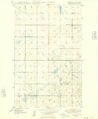
1948 · Crosby SE
USGS Topo · 1:24,000
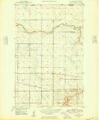
1949 · Paulson
USGS Topo · 1:24,000
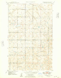
1949 · Noonan SW
USGS Topo · 1:24,000
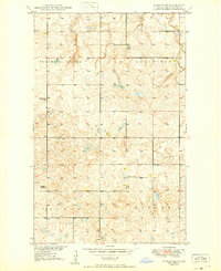
1949 · Noonan SE
USGS Topo · 1:24,000
1949 · Noonan
USGS Topo · 1:24,000
1950 · Crosby
USGS Topo · 1:62,500
1950 · Noonan
USGS Topo · 1:62,500