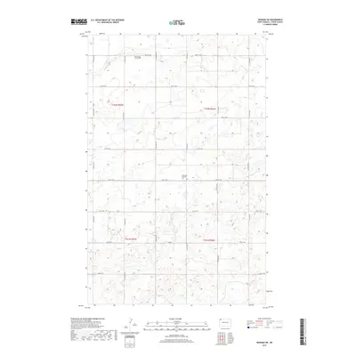
2017 Map of Noonan SW
USGS Topo · Published 2017About this map
The rolling prairies of northwest North Dakota define this quiet corner of Divide County, where the landscape is organized by the rigid grid of the Public Land Survey System. The map highlights two significant local burial sites, Blooming Prairie Cem and Glenwood Lutheran Cem, which stand as quiet landmarks within the agricultural sections. The area is traversed by a network of rural roads such as 100th St NW and 116th Ave NW, which connect the scattered homesteads across the townships of T162N and T161N. This 2017 survey reflects the persistent pastoral character of the region, showing numerous small potholes and wetlands that dot the fields, a hallmark of the northern prairie pothole region.
Find a feature on this map
22 named features on this map. Tap any name to fly to it.
Don’t see what you’re looking for? This feature index may not catch every label — zoom into the map to look around manually.
Map Details
Editions of this 2017 Noonan SW Map
This is the sole edition of this map. No revisions or reprints were ever made.
Other maps of this area
1947 · Noonan
USGS Topo · 1:24,000
1948 · Alamo N.E.
USGS Topo · 1:24,000
1948 · Crosby
USGS Topo · 1:24,000
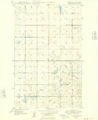
1948 · Crosby SE
USGS Topo · 1:24,000
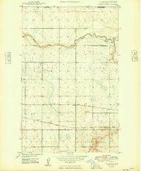
1949 · Paulson
USGS Topo · 1:24,000
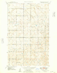
1949 · Noonan SW
USGS Topo · 1:24,000
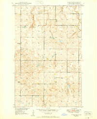
1949 · Noonan SE
USGS Topo · 1:24,000
1949 · Noonan
USGS Topo · 1:24,000
1950 · Crosby
USGS Topo · 1:62,500
1950 · Noonan
USGS Topo · 1:62,500