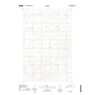
2020 Map of Noonan SW
USGS Topo · Published 2020About this map
The prairie landscape of northern Divide County is defined by a dense network of seasonal wetlands and glacial potholes that punctuate the high plains. This 2020 survey records a rural geography organized by the Public Land Survey System, where section lines dictate the paths of local routes like 114th Ave NW and 97th St NW. The enduring presence of the Blooming Prairie Cem in the north and the Glenwood Lutheran Cem near the center of the quadrangle provides critical touchstones for genealogical research, marking the locations of early congregational life in this corner of North Dakota. The terrain is characterized by subtle elevation changes and numerous small water bodies, reflecting a traditional agricultural layout that has remained remarkably consistent over decades.
Find a feature on this map
22 named features on this map. Tap any name to fly to it.
Don’t see what you’re looking for? This feature index may not catch every label — zoom into the map to look around manually.
Map Details
Editions of this 2020 Noonan SW Map
This is the sole edition of this map. No revisions or reprints were ever made.
Other maps of this area
1947 · Noonan
USGS Topo · 1:24,000
1948 · Alamo N.E.
USGS Topo · 1:24,000
1948 · Crosby
USGS Topo · 1:24,000
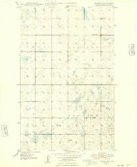
1948 · Crosby SE
USGS Topo · 1:24,000
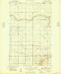
1949 · Paulson
USGS Topo · 1:24,000
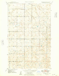
1949 · Noonan SW
USGS Topo · 1:24,000
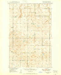
1949 · Noonan SE
USGS Topo · 1:24,000
1949 · Noonan
USGS Topo · 1:24,000
1950 · Crosby
USGS Topo · 1:62,500
1950 · Noonan
USGS Topo · 1:62,500