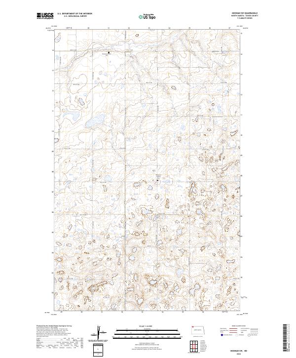
2024 Map of Noonan SW
USGS Topo · Published 2024About this map
The Divide County Waterfowl Production Area occupies a significant portion of the landscape in the southeastern corner of this map, reflecting a terrain defined by many small, scattered wetlands and basins. This rural corner of Divide County is gridded by an extensive network of range and township lines, including 100th St NW and 116th Ave NW. These roads follow the section lines of the Public Land Survey System, which organized the settlement patterns across t162n r97w and neighboring townships.
Find a feature on this map
22 named features on this map. Tap any name to fly to it.
Don’t see what you’re looking for? This feature index may not catch every label — zoom into the map to look around manually.
Map Details
Editions of this 2024 Noonan SW Map
This is the sole edition of this map. No revisions or reprints were ever made.
Other maps of this area

1947 · Noonan
USGS Topo · 1:24,000

1948 · Alamo N.E.
USGS Topo · 1:24,000

1948 · Crosby
USGS Topo · 1:24,000

1948 · Crosby SE
USGS Topo · 1:24,000

1949 · Paulson
USGS Topo · 1:24,000

1949 · Noonan SW
USGS Topo · 1:24,000

1949 · Noonan SE
USGS Topo · 1:24,000

1949 · Noonan
USGS Topo · 1:24,000

1950 · Crosby
USGS Topo · 1:62,500

1950 · Noonan
USGS Topo · 1:62,500