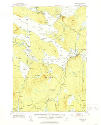
1951 Map of Norcross
USGS Topo · Published 1953About this map
The West Branch Penobscot River flows through this Maine wilderness, anchoring a complex network of waterways that defined the regional logging industry in the early 1950s. At The Boom House and the settlement of Norcross, the map illustrates a landscape transitioned from timber operations to seasonal sporting use. Remote outposts like Ambajejus Camps, Buckhorn Camps, and Cedar Lake Camps are scattered among the ridges, accessible by water or the Bangor and Aroostook RR.
Find a feature on this map
125 named features on this map. Tap any name to fly to it.
Don’t see what you’re looking for? This feature index may not catch every label — zoom into the map to look around manually.
Map Details
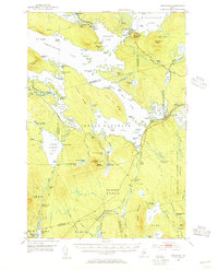
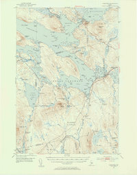
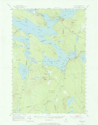
Editions of this 1951 Norcross Map
5 editions found
Other maps of this area

1927 · Katahdin
USGS Topo · 1:48,000

1930 · Katahdin
USGS Topo · 1:62,500

1940 · Sebec
USGS Topo · 1:48,000

1942 · Lincoln
USGS Topo · 1:62,500

1943 · Sebec
USGS Topo · 1:62,500

1947 · Schoodic
USGS Topo · 1:62,500

1949 · Schoodic
USGS Topo · 1:62,500

1949 · Katahdin
USGS Topo · 1:62,500

1951 · Norcross
USGS Topo · 1:62,500

1951 · Millinocket
USGS Topo · 1:62,500