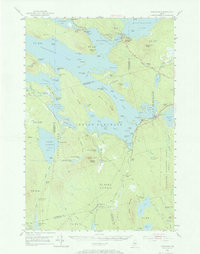
1951 Map of Norcross
USGS Topo · Published 1967About this map
Pemadumcook Lake and Ambejejus Lake form a massive, interconnected waterway at the heart of this North Woods survey, reflecting the complex lake-and-river network of the West Branch Penobscot River. This 1951 field-checked map illustrates the importance of the logging industry and early interior transport through features like The Boom House and Stephensons Landing. The southeastern portion of the quadrangle is dominated by the Bangor and Aroostook railroad line, which facilitated movement through the region via stops at Norcross, Ingalls Siding, and West Seboois. The landscape is characterized by its township and range divisions, including T4 Indian Purchase and Hopkins Academy Grant (West), highlighting the historic land grant patterns of northern Maine. From the lookout tower atop Ragged Mountain to the remote Buckhorn Camps, the map documents a wilderness transitioning from raw timberland to a managed forest and recreational destination.
Find a feature on this map
131 named features on this map. Tap any name to fly to it.
Don’t see what you’re looking for? This feature index may not catch every label — zoom into the map to look around manually.
Map Details
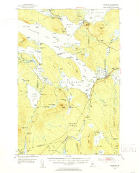
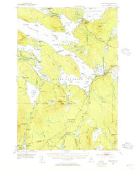
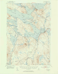
Editions of this 1951 Norcross Map
5 editions found
Other maps of this area

1927 · Katahdin
USGS Topo · 1:48,000

1930 · Katahdin
USGS Topo · 1:62,500

1940 · Sebec
USGS Topo · 1:48,000

1942 · Lincoln
USGS Topo · 1:62,500

1943 · Sebec
USGS Topo · 1:62,500

1947 · Schoodic
USGS Topo · 1:62,500

1949 · Schoodic
USGS Topo · 1:62,500

1949 · Katahdin
USGS Topo · 1:62,500

1951 · Norcross
USGS Topo · 1:62,500

1951 · Millinocket
USGS Topo · 1:62,500