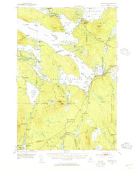
1951 Map of Norcross
USGS Topo · Published 1956About this map
Ambajejus Lake and the interconnected waters of North Twin Lake and South Twin Lake dominate this mid-century landscape in the Maine woods. The settlement of Norcross serves as a focal point along the Bangor and Aroostook Railroad, which traces the eastern shores of the lakes. This era of the region’s history is defined by a network of sporting and logging camps, including Ambajejus Camps, Buckhorn Camps, and Cedar Lake Camps, alongside specialized structures like The Boom House near Ambajejus Point.
Find a feature on this map
118 named features on this map. Tap any name to fly to it.
Don’t see what you’re looking for? This feature index may not catch every label — zoom into the map to look around manually.
Map Details
Editions of this 1951 Norcross Map
5 editions found
Other maps of this area

1927 · Katahdin
USGS Topo · 1:48,000

1930 · Katahdin
USGS Topo · 1:62,500

1940 · Sebec
USGS Topo · 1:48,000

1942 · Lincoln
USGS Topo · 1:62,500

1943 · Sebec
USGS Topo · 1:62,500

1947 · Schoodic
USGS Topo · 1:62,500

1949 · Schoodic
USGS Topo · 1:62,500

1949 · Katahdin
USGS Topo · 1:62,500

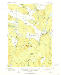
1951 · Norcross
USGS Topo · 1:62,500

1951 · Millinocket
USGS Topo · 1:62,500