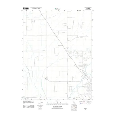
2012 Map of Nord
USGS Topo · Published 2012About this map
The Sacramento River flows along the western edge of this agricultural landscape north of Chico, defining a region where water management is central to the local economy. The terrain is marked by a complex system of drainage and irrigation, including Keefer Slough, Kusal Slough, and Mud Cr, which weave between established agricultural holdings. Small rural settlements and geographic markers like Nord, Cana, and Anita are connected by a grid of farm-to-market roads such as Wilson Landing Rd and Hamilton Nord Cana Hwy.
Find a feature on this map
78 named features on this map. Tap any name to fly to it.
Don’t see what you’re looking for? This feature index may not catch every label — zoom into the map to look around manually.
Map Details
Editions of this 2012 Nord Map
This is the sole edition of this map. No revisions or reprints were ever made.
Other maps of this area

1891 · Chico
USGS Topo · 1:125,000

1893 · Chico
USGS Topo · 1:125,000

1895 · Chico
USGS Topo · 1:125,000

1904 · Vina
USGS Topo · 1:62,500

1906 · Willows
USGS Topo · 1:62,500

1912 · Durham
USGS Topo · 1:31,680

1912 · Nord
USGS Topo · 1:31,680

1912 · Chico Landing
USGS Topo · 1:31,680

1912 · Keefers
USGS Topo · 1:31,680

1912 · Singer Creek
USGS Topo · 1:31,680