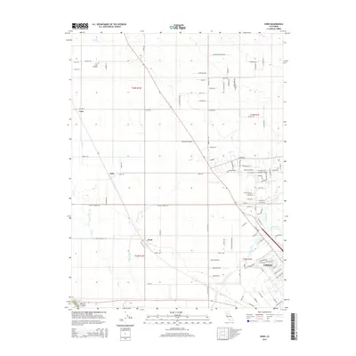
2015 Map of Nord
USGS Topo · Published 2015About this map
The agricultural plains north of Chico are defined by a complex network of waterways and early settlements in this 2015 survey. The town of Nord serves as a central point in this landscape, where the flat valley floor is carved by Keefer Slough, Mud Creek, and Sycamore Creek. To the northwest, the settlement of Cana and the Pine Creek Cemetery offer significant points of interest for genealogists tracing the early farming families of this region.
Find a feature on this map
107 named features on this map. Tap any name to fly to it.
Don’t see what you’re looking for? This feature index may not catch every label — zoom into the map to look around manually.
Map Details
Editions of this 2015 Nord Map
This is the sole edition of this map. No revisions or reprints were ever made.
Other maps of this area
1891 · Chico
USGS Topo · 1:125,000
1893 · Chico
USGS Topo · 1:125,000
1895 · Chico
USGS Topo · 1:125,000
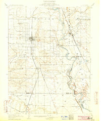
1904 · Vina
USGS Topo · 1:62,500
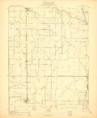
1906 · Willows
USGS Topo · 1:62,500
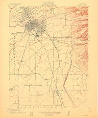
1912 · Durham
USGS Topo · 1:31,680
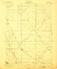
1912 · Nord
USGS Topo · 1:31,680
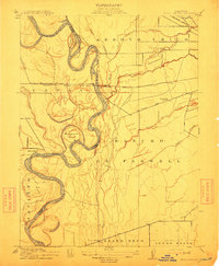
1912 · Chico Landing
USGS Topo · 1:31,680
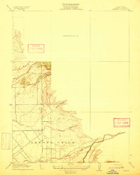
1912 · Keefers
USGS Topo · 1:31,680
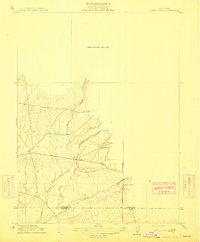
1912 · Singer Creek
USGS Topo · 1:31,680