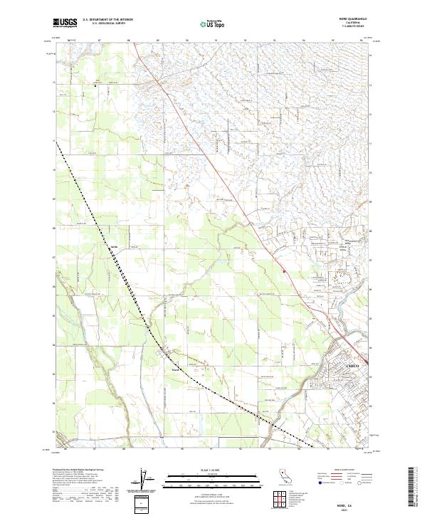
2021 Map of Nord
USGS Topo · Published 2021About this map
Nord and Anita sit at the center of this agricultural landscape within the Sacramento Valley, where the orchard-lined flats of the Central Valley meet an intricate network of waterways. The area is defined by the seasonal flows of Keefer Slough, Pine Creek, and Rock Creek, which cut across the valley floor toward the west. This 2021 survey reveals the modern layout of these historic settlements, including the Chico city limits and the rural Pine Creek Cem north of town. The landscape is a grid of long-established country roads such as Cana Hwy and Wilson Landing Rd, reflecting a transportation network designed for moving valley crops. The map also traces Mud Creek and Sycamore Creek as they meander through the southern reaches of the quadrangle, highlighting the critical role of riparian corridors in Butte County's geography.
Find a feature on this map
109 named features on this map. Tap any name to fly to it.
Don’t see what you’re looking for? This feature index may not catch every label — zoom into the map to look around manually.
Map Details
Editions of this 2021 Nord Map
This is the sole edition of this map. No revisions or reprints were ever made.
Other maps of this area

1891 · Chico
USGS Topo · 1:125,000

1893 · Chico
USGS Topo · 1:125,000

1895 · Chico
USGS Topo · 1:125,000

1904 · Vina
USGS Topo · 1:62,500

1906 · Willows
USGS Topo · 1:62,500

1912 · Durham
USGS Topo · 1:31,680

1912 · Nord
USGS Topo · 1:31,680

1912 · Chico Landing
USGS Topo · 1:31,680

1912 · Keefers
USGS Topo · 1:31,680

1912 · Singer Creek
USGS Topo · 1:31,680