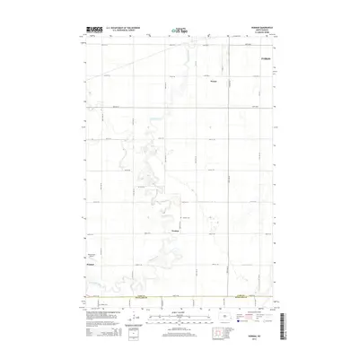
2014 Map of Norman
USGS Topo · Published 2014About this map
The Sheyenne River winds through this section of the Red River Valley, carving a serpentine path through the flat agricultural plains of Cass and Richland counties. The settlement of Horace occupies the upper reaches of the map, while the smaller community of Norman sits further south along the river's eastern bank. This landscape is defined by the strict section-line grid of roads, such as 170th Ave SE and 54th St SE, which divide the fertile farmland into precise blocks. Genealogists will find the Norman Cem and Dokken Cem situated near the river, serving as local landmarks for family history. In the southwest corner, the town of Kindred appears alongside the Hamry Field Airport, reflecting the area's continued role as a rural hub near the expanding influence of Fargo.
Find a feature on this map
31 named features on this map. Tap any name to fly to it.
Don’t see what you’re looking for? This feature index may not catch every label — zoom into the map to look around manually.
Map Details
Editions of this 2014 Norman Map
This is the sole edition of this map. No revisions or reprints were ever made.
Other maps of this area

1895 · Fargo
USGS Topo · 1:125,000

1895 · Casselton
USGS Topo · 1:125,000

1897 · Fargo
USGS Topo · 1:125,000

1897 · Casselton
USGS Topo · 1:125,000

1953 · Fargo
USGS Topo · 1:250,000

1956 · Fargo
USGS Topo · 1:250,000

1959 · Kindred
USGS Topo · 1:24,000

1959 · South West Fargo
USGS Topo · 1:24,000

1959 · Fargo South
USGS Topo · 1:24,000

1959 · Hickson
USGS Topo · 1:24,000