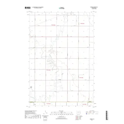
2017 Map of Norman
USGS Topo · Published 2017About this map
The Sheyenne River winds in tight, serpentine oxbows through the heart of the Red River Valley, defining the rural character of this northern prairie landscape. In the center of the sheet lies Norman, a focal point for local history along with the nearby Norman Cem. The map illustrates a strict section-line road grid, including Co RD 16 and Co RD 36, which segments the vast agricultural tracts of the eastern Dakotas. Further south, the boundary between Cass Co and Richland Co is marked by 54th St SE, near where the Dokken Cem serves as a small but significant landmark for genealogical research. The presence of Robert Odegaard Field in the west provides a contemporary aviation reference in an otherwise deeply traditional farming region.
Find a feature on this map
37 named features on this map. Tap any name to fly to it.
Don’t see what you’re looking for? This feature index may not catch every label — zoom into the map to look around manually.
Map Details
Editions of this 2017 Norman Map
This is the sole edition of this map. No revisions or reprints were ever made.
Other maps of this area

1895 · Fargo
USGS Topo · 1:125,000

1895 · Casselton
USGS Topo · 1:125,000

1897 · Fargo
USGS Topo · 1:125,000

1897 · Casselton
USGS Topo · 1:125,000

1953 · Fargo
USGS Topo · 1:250,000

1956 · Fargo
USGS Topo · 1:250,000

1959 · Kindred
USGS Topo · 1:24,000

1959 · South West Fargo
USGS Topo · 1:24,000

1959 · Fargo South
USGS Topo · 1:24,000

1959 · Hickson
USGS Topo · 1:24,000