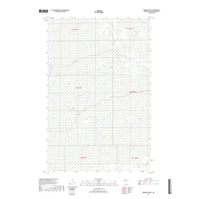
2019 Map of Norman Lake SE
USGS Topo · Published 2019About this map
Lost River and the Little Tamarac River define the hydrography of this interior stretch of the Minnesota Northwoods. This 2019 survey captures the vast, saturated landscape of the Big Bog region, where the terrain is dominated by peatlands and complex wetland systems rather than human settlements. The map illustrates the minimal modern infrastructure present, showing how the natural flow of these watercourses continues to shape the geography of the northern frontier. While few landmarks break the expanse of the wilderness, the detailed wetland data provides a precise record of the environmental character of this remote section of Koochiching County.
Find a feature on this map
2 named features on this map. Tap any name to fly to it.
Don’t see what you’re looking for? This feature index may not catch every label — zoom into the map to look around manually.
Map Details
Editions of this 2019 Norman Lake SE Map
This is the sole edition of this map. No revisions or reprints were ever made.
Other maps of this area
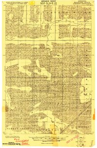
1919 · Lundgren
USGS Topo · 1:62,500
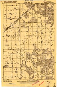
1919 · Gemmell
USGS Topo · 1:62,500
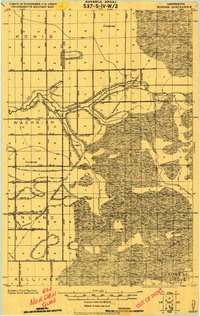
1919 · Norden
USGS Topo · 1:62,500
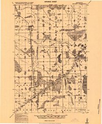
1919 · Bridgie
USGS Topo · 1:62,500
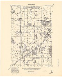
1924 · Bridgie
USGS Topo · 1:62,500

1954 · Bemidji
USGS Topo · 1:250,000

1954 · Roseau
USGS Topo · 1:250,000

1957 · Roseau
USGS Topo · 1:250,000

1957 · Bemidji
USGS Topo · 1:250,000

1958 · Bemidji
USGS Topo · 1:250,000