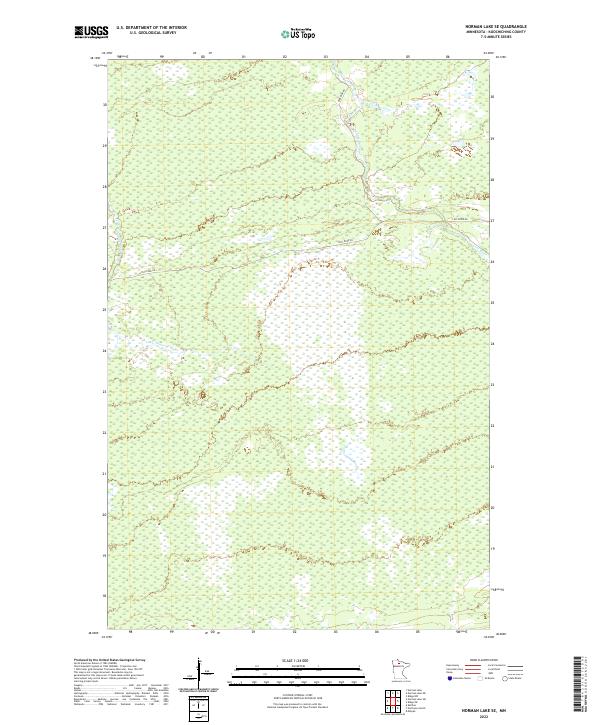
2022 Map of Norman Lake SE
USGS Topo · Published 2022About this map
Lost River meanders through this remote portion of Koochiching County, defining a landscape dominated by extensive wetlands and complex township divisions. This 2022 survey illustrates a region where human infrastructure is minimal, centered largely on the corridor of Lost River Rd and its junction with Anderson Rd. The drainage patterns of the Little Tamarac River further emphasize the hydrological character of the area, which remains largely undivided by major thoroughfares. The map provides a precise look at the township and range lines, including t154n r29w and t153n r28w, which are essential for property researchers and genealogists tracing land titles in this northern Minnesota wilderness.
Find a feature on this map
10 named features on this map. Tap any name to fly to it.
Don’t see what you’re looking for? This feature index may not catch every label — zoom into the map to look around manually.
Map Details
Editions of this 2022 Norman Lake SE Map
This is the sole edition of this map. No revisions or reprints were ever made.
Other maps of this area

1919 · Lundgren
USGS Topo · 1:62,500

1919 · Gemmell
USGS Topo · 1:62,500

1919 · Norden
USGS Topo · 1:62,500

1919 · Bridgie
USGS Topo · 1:62,500

1924 · Bridgie
USGS Topo · 1:62,500

1954 · Bemidji
USGS Topo · 1:250,000

1954 · Roseau
USGS Topo · 1:250,000

1957 · Roseau
USGS Topo · 1:250,000

1957 · Bemidji
USGS Topo · 1:250,000

1958 · Bemidji
USGS Topo · 1:250,000