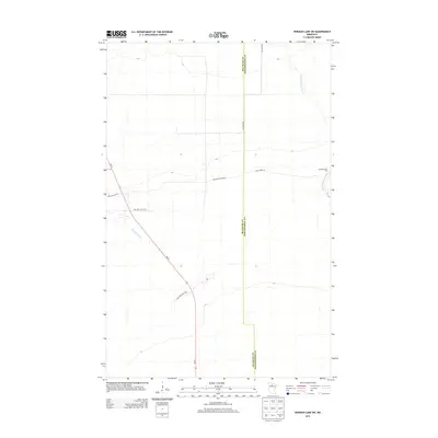
2013 Map of Norman Lake SW
USGS Topo · Published 2013About this map
Red Lake State Frst dominates this northern landscape where the border between Beltrami Co and Koochiching Co runs through a region of drainage and forest. The northern reach is defined by the winding course of the Little Tamarac River, which cuts through the timberland toward Camp Number Two. To the south, the waters of Shotley Brook flow across the terrain, illustrating the hydrology of this marshy lowland. A network of rural roads, including Lost River Rd and Balsiger Rd, connects these remote points, following the section lines and natural contours of the northern woods. The presence of these named camps and backroads highlights a history of timber management and forest navigation in this part of Minnesota.
Find a feature on this map
9 named features on this map. Tap any name to fly to it.
Don’t see what you’re looking for? This feature index may not catch every label — zoom into the map to look around manually.
Map Details
Editions of this 2013 Norman Lake SW Map
This is the sole edition of this map. No revisions or reprints were ever made.
Other maps of this area
1919 · Fox
USGS Topo · 1:62,500
1919 · Quiring
USGS Topo · 1:62,500
1919 · Norden
USGS Topo · 1:62,500
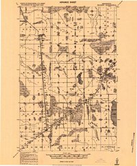
1919 · Bridgie
USGS Topo · 1:62,500
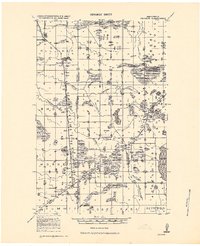
1924 · Bridgie
USGS Topo · 1:62,500

1954 · Bemidji
USGS Topo · 1:250,000

1954 · Roseau
USGS Topo · 1:250,000

1957 · Roseau
USGS Topo · 1:250,000

1957 · Bemidji
USGS Topo · 1:250,000

1958 · Bemidji
USGS Topo · 1:250,000