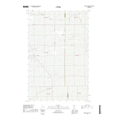
2019 Map of Norman Lake SW
USGS Topo · Published 2019About this map
The Little Tamarac River and the upper reaches of Shotley Brook dominate this northern Minnesota landscape near the border of Beltrami and Koochiching Counties. The area is characterized by a dense network of forest roads and trails, reflecting the region's managed timberlands and recreational uses. Key arteries include Balsiger Forest Rd, Lost River Rd, and the descriptively named Snowmobile Rd Ne. The presence of Wild Rice Rd Ne points to the local harvesting traditions, while names like Sunny Beach Rd Ne suggest seasonal use. This terrain shows the intricate drainage patterns essential to the northern marshlands, with the Tamarac River flowing through a patchwork of township and range sections.
Find a feature on this map
23 named features on this map. Tap any name to fly to it.
Don’t see what you’re looking for? This feature index may not catch every label — zoom into the map to look around manually.
Map Details
Editions of this 2019 Norman Lake SW Map
This is the sole edition of this map. No revisions or reprints were ever made.
Other maps of this area
1919 · Fox
USGS Topo · 1:62,500
1919 · Quiring
USGS Topo · 1:62,500
1919 · Norden
USGS Topo · 1:62,500
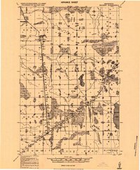
1919 · Bridgie
USGS Topo · 1:62,500
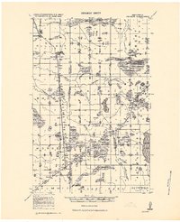
1924 · Bridgie
USGS Topo · 1:62,500

1954 · Bemidji
USGS Topo · 1:250,000

1954 · Roseau
USGS Topo · 1:250,000

1957 · Roseau
USGS Topo · 1:250,000

1957 · Bemidji
USGS Topo · 1:250,000

1958 · Bemidji
USGS Topo · 1:250,000