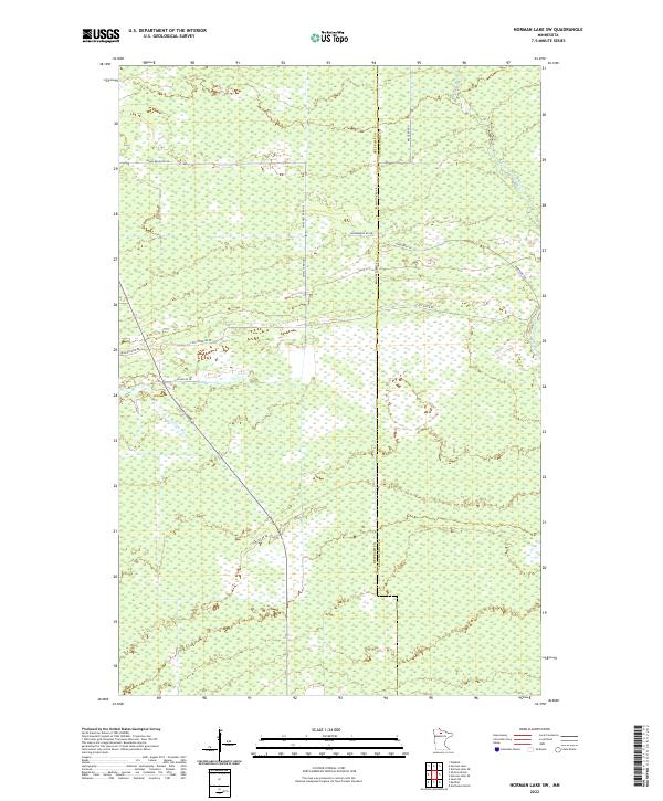
2022 Map of Norman Lake SW
USGS Topo · Published 2022About this map
Little Tamarac River and Shotley Brook meander through this north-central Minnesota landscape, which is defined by a dense network of forest service roads and drainage canals. The map illustrates a highly managed marshland and timber environment where historical land divisions meet modern recreation. Local infrastructure is dominated by specialized routes such as Snowmobile Rd Ne and Baussiger Forest Rd, indicating the area's importance for seasonal transit and natural resource management. The intersection of Beltrami Co and Koochiching Co along the eastern margin highlights a remote borderland where drainage features like Ditch 10 Rd Ne were essential for transforming the terrain. Anderson Trl and Lost River Rd provide the primary access points through this intricate system of wetlands and woods.
Find a feature on this map
22 named features on this map. Tap any name to fly to it.
Don’t see what you’re looking for? This feature index may not catch every label — zoom into the map to look around manually.
Map Details
Editions of this 2022 Norman Lake SW Map
This is the sole edition of this map. No revisions or reprints were ever made.
Other maps of this area

1919 · Fox
USGS Topo · 1:62,500

1919 · Quiring
USGS Topo · 1:62,500

1919 · Norden
USGS Topo · 1:62,500

1919 · Bridgie
USGS Topo · 1:62,500

1924 · Bridgie
USGS Topo · 1:62,500

1954 · Bemidji
USGS Topo · 1:250,000

1954 · Roseau
USGS Topo · 1:250,000

1957 · Roseau
USGS Topo · 1:250,000

1957 · Bemidji
USGS Topo · 1:250,000

1958 · Bemidji
USGS Topo · 1:250,000