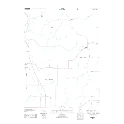
2013 Map of Norman
USGS Topo · Published 2013About this map
Heltonville and Zelma anchor this 2013 topographic study of the rural landscape in Lawrence County, Indiana. The terrain is defined by a dense network of creek valleys and ridges, including the prominent Mitchell Ridge and the distinctively named Dennis Murphy Hollow. Settlements like Norman and the small hamlet of Yellowstone are connected by a web of county roads that reflect the area's agricultural and forest-based history. Genealogists and local historians can trace legacy routes such as Mundell Church Rd, Erie Church Rd, and Brown Station Rd, which point to the community landmarks and transit points of earlier generations. Water features like Leatherwood Cr and Henderson Cr carve through the land, illustrating the drainage patterns that have shaped land use in this part of the state.
Find a feature on this map
53 named features on this map. Tap any name to fly to it.
Don’t see what you’re looking for? This feature index may not catch every label — zoom into the map to look around manually.
Map Details
Editions of this 2013 Norman Map
This is the sole edition of this map. No revisions or reprints were ever made.
Other maps of this area

1934 · Bedford
USGS Topo · 1:48,000

1937 · Bedford
USGS Topo · 1:62,500

1942 · Franklin
USGS Topo · 1:125,000

1947 · Allens Creek
USGS Topo · 1:24,000

1947 · Elkinsville
USGS Topo · 1:24,000
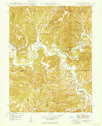
1950 · Elkinsville
USGS Topo · 1:24,000

1953 · Indianapolis
USGS Topo · 1:250,000

1956 · Indianapolis
USGS Topo · 1:250,000

1956 · Story
USGS Topo · 1:24,000

1956 · Vincennes
USGS Topo · 1:250,000