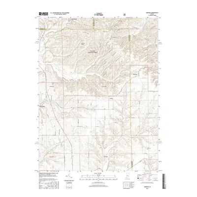
2016 Map of Norman
USGS Topo · Published 2016About this map
Hoosier National Forest dominates the northern reaches of this Lawrence County landscape, where a series of numbered ridges like Hickory Ridge 1 and Hickory Ridge 10 define the rugged topography. The settlement of Heltonville anchors the western edge near the headwaters of Leatherwood Creek, while Zelma and Norman occupy the central and eastern sections. This area shows a pattern of high-ridge forestry and creek-bottom agriculture typical of the region, with family-named landforms such as Mitchell Ridge and Dennis Murphy Hollow providing a link to early inhabitants. Genealogical interest is high throughout the quadrangle, with several scattered burial sites including Mitchell Cem, Faubion Cem, and Scott Wray Cem. The network of country roads, such as Heltonville Mill Rd and Mundell Church Rd, follows the winding paths carved by waterways like Back Creek and Henderson Cr.
Find a feature on this map
81 named features on this map. Tap any name to fly to it.
Don’t see what you’re looking for? This feature index may not catch every label — zoom into the map to look around manually.
Map Details
Editions of this 2016 Norman Map
This is the sole edition of this map. No revisions or reprints were ever made.
Other maps of this area
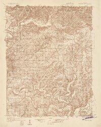
1934 · Bedford
USGS Topo · 1:48,000
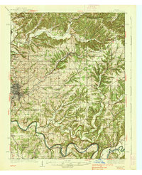
1937 · Bedford
USGS Topo · 1:62,500
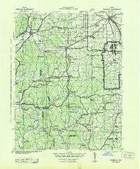
1942 · Franklin
USGS Topo · 1:125,000
1947 · Allens Creek
USGS Topo · 1:24,000
1947 · Elkinsville
USGS Topo · 1:24,000
1950 · Elkinsville
USGS Topo · 1:24,000
1953 · Indianapolis
USGS Topo · 1:250,000
1956 · Indianapolis
USGS Topo · 1:250,000
1956 · Story
USGS Topo · 1:24,000
1956 · Vincennes
USGS Topo · 1:250,000