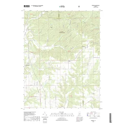
2019 Map of Norman
USGS Topo · Published 2019About this map
Hoosier National Forest dominates the interior of this 2019 survey, where the ridges of Lawrence and Jackson Counties form a complex network of drainage basins. The small settlements of Zelma, Norman, and Heltonville sit along the perimeter of the protected woodlands, connected by winding rural routes such as Humpback Bridge Rd and Norman Rd. The landscape is defined by the numerous spurs of Hickory Ridge, ranging from Hickory Ridge 1 to Hickory Ridge 22, which dictate the flow of several waterways including Leatherwood Creek and Back Creek. Local history is preserved in several rural burial grounds and meeting places, such as Mundell Church, Faubion Cem, and Mitchell Cem. The map illustrates a contemporary balance between timbered wilderness and the established agricultural and residential pockets that have persisted in this part of southern Indiana for generations.
Find a feature on this map
93 named features on this map. Tap any name to fly to it.
Don’t see what you’re looking for? This feature index may not catch every label — zoom into the map to look around manually.
Map Details
Editions of this 2019 Norman Map
This is the sole edition of this map. No revisions or reprints were ever made.
Other maps of this area
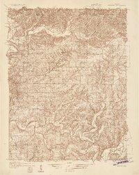
1934 · Bedford
USGS Topo · 1:48,000
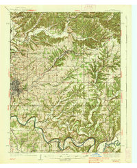
1937 · Bedford
USGS Topo · 1:62,500
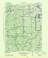
1942 · Franklin
USGS Topo · 1:125,000
1947 · Allens Creek
USGS Topo · 1:24,000
1947 · Elkinsville
USGS Topo · 1:24,000
1950 · Elkinsville
USGS Topo · 1:24,000
1953 · Indianapolis
USGS Topo · 1:250,000
1956 · Indianapolis
USGS Topo · 1:250,000
1956 · Story
USGS Topo · 1:24,000
1956 · Vincennes
USGS Topo · 1:250,000