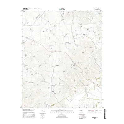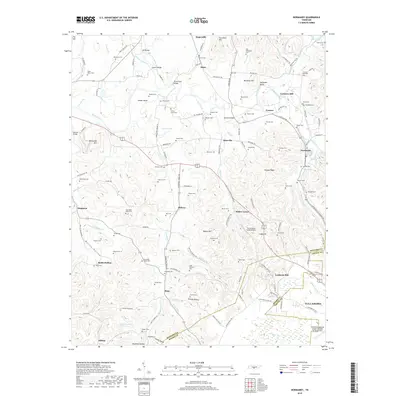
2022 Map of Normandy
USGS Topo · Published 2022About this map
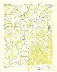
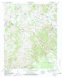
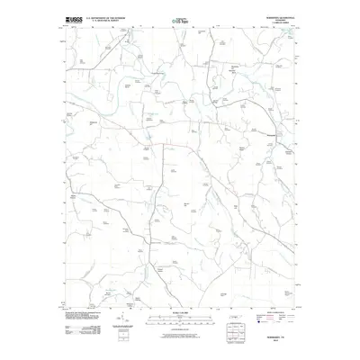
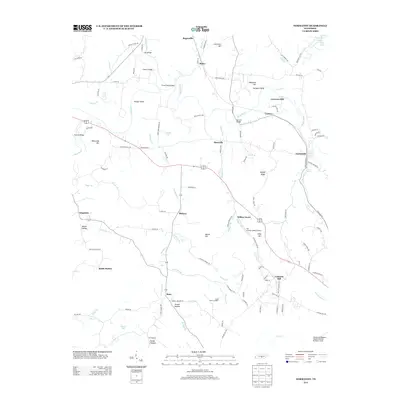
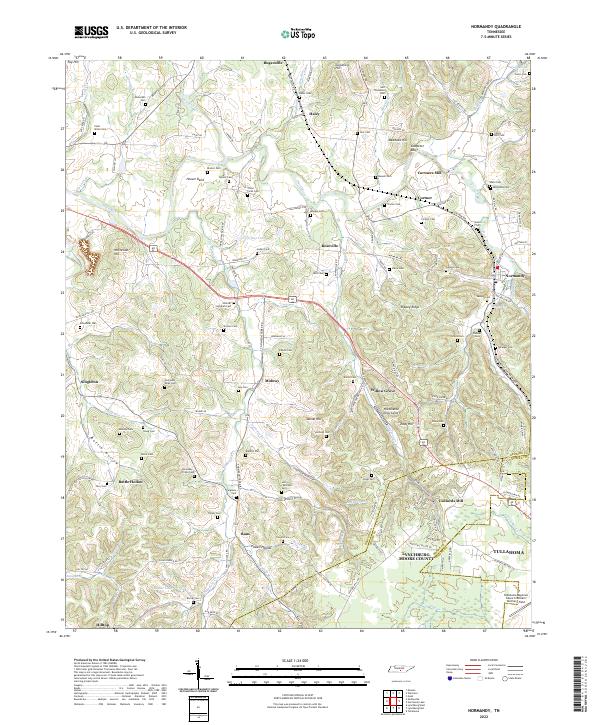
Duck River and Garrison Fork converge in this section of Middle Tennessee, defining a landscape of sharp ridges and deep hollows. The area is dense with family-named landmarks and cemeteries, reflecting a long history of local settlement near Normandy and Cortner. Water-powered history is evident at Cortners Mill and Ledfords Mill, while the winding course of the river creates distinctive features like Hooser Bend and Saltpeter Bluff. The map captures a transition from rural crossroads like Raus and Singleton to the more developed edges of Tullahoma and Lynchburg in the south. Aviation history is represented by The Aviation Valley Airport and the northern reaches of Tullahoma Regional Airport. Genealogists will find a wealth of data points here, from the Shofner Lutheran Cem to numerous family plots such as the Mcquiddy Cem and Culley-Holt Cem.
Find a feature on this map
161 named features on this map. Tap any name to fly to it.
Don’t see what you’re looking for? This feature index may not catch every label — zoom into the map to look around manually.
Map Details
Editions of this 2022 Normandy Map
This is the sole edition of this map. No revisions or reprints were ever made.
Historical Maps of Tullahoma Through Time
7 maps found