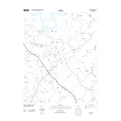
2013 Map of Norris
USGS Topo · Published 2013About this map
The Clinch River carves a deep path through this portion of Anderson County, defining the geography between the waters of Norris Lake to the north and Melton Hill Lake to the south. The planned community of Norris sits at the center of this landscape, characterized by its distinct winding street names like Dairy Pond Rd and Deer Ridge Rd. The terrain is marked by a series of parallel ridges and valleys, including Bluebird Ridge and River Ridge, which create isolated hollows such as Massengill Hollow and Gooseneck Hollow.
Find a feature on this map
176 named features on this map. Tap any name to fly to it.
Don’t see what you’re looking for? This feature index may not catch every label — zoom into the map to look around manually.
Map Details
Editions of this 2013 Norris Map
This is the sole edition of this map. No revisions or reprints were ever made.
Other maps of this area

1893 · Briceville
USGS Topo · 1:125,000

1895 · Briceville
USGS Topo · 1:125,000

1896 · Briceville
USGS Topo · 1:125,000

1897 · Maynardville
USGS Topo · 1:125,000

1900 · Maynardville
USGS Topo · 1:125,000

1935 · Fountain City
USGS Topo · 1:24,000

1936 · Gorryton
USGS Topo · 1:48,000

1936 · Jacksboro
USGS Topo · 1:24,000

1936 · White Hollow
USGS Topo · 1:24,000

1936 · La Follette
USGS Topo · 1:48,000