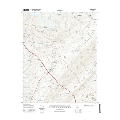
2016 Map of Norris
USGS Topo · Published 2016About this map
Norris and Andersonville anchor this East Tennessee landscape, where the waters of the Clinch River are managed by the vast reservoirs of Norris Lake and Melton Hill Lake. The area is characterized by a series of parallel valleys and ridges, including Big Valley, Buffalo Valley, and Hickory Valley, separated by prominent heights like Pine Ridge and Chestnut Ridge. The topography creates distinct corridors for settlement and travel, such as the Norris Fwy which cuts through the terrain near Brooks Gap and Moore Gap. Numerous cemeteries, such as Hillvale Cem and Macedonia Cem, are tucked into the hollows, preserving family names like Burris, Harmon, and Massengill. The presence of the Riner Farm Airport and Norris Park indicates the modern land use surrounding these planned communities, while features like Johnsons Shoals and Miller Island speak to the original riverine environment before the major hydro-projects of the twentieth century.
Find a feature on this map
84 named features on this map. Tap any name to fly to it.
Don’t see what you’re looking for? This feature index may not catch every label — zoom into the map to look around manually.
Map Details
Editions of this 2016 Norris Map
This is the sole edition of this map. No revisions or reprints were ever made.
Other maps of this area

1893 · Briceville
USGS Topo · 1:125,000

1895 · Briceville
USGS Topo · 1:125,000

1896 · Briceville
USGS Topo · 1:125,000

1897 · Maynardville
USGS Topo · 1:125,000

1900 · Maynardville
USGS Topo · 1:125,000

1935 · Fountain City
USGS Topo · 1:24,000

1936 · Gorryton
USGS Topo · 1:48,000

1936 · Jacksboro
USGS Topo · 1:24,000

1936 · White Hollow
USGS Topo · 1:24,000

1936 · La Follette
USGS Topo · 1:48,000