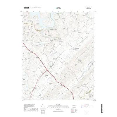
2019 Map of Norris
USGS Topo · Published 2019About this map
Norris Lake and the winding Clinch River dominate this modern landscape, where the waters of the Tennessee Valley Authority impact the local geography of Anderson County. The planned community of Norris is characterized by its significant elevation points like Reservoir Hill and Observation Point, while Norris Park provides extensive recreational space along the shoreline.
Find a feature on this map
93 named features on this map. Tap any name to fly to it.
Don’t see what you’re looking for? This feature index may not catch every label — zoom into the map to look around manually.
Map Details
Editions of this 2019 Norris Map
This is the sole edition of this map. No revisions or reprints were ever made.
Other maps of this area

1893 · Briceville
USGS Topo · 1:125,000

1895 · Briceville
USGS Topo · 1:125,000

1896 · Briceville
USGS Topo · 1:125,000

1897 · Maynardville
USGS Topo · 1:125,000

1900 · Maynardville
USGS Topo · 1:125,000

1935 · Fountain City
USGS Topo · 1:24,000

1936 · Gorryton
USGS Topo · 1:48,000

1936 · Jacksboro
USGS Topo · 1:24,000

1936 · White Hollow
USGS Topo · 1:24,000

1936 · La Follette
USGS Topo · 1:48,000