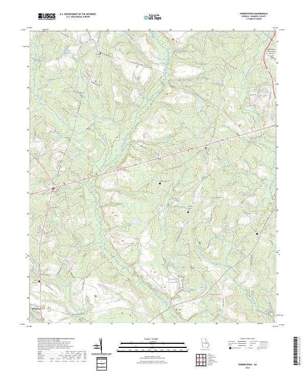
2024 Map of Norristown
USGS Topo · Published 2024About this map
The settlement of Norristown anchors the southwest corner of this landscape where the Ohoopee River and Little Ohoopee River converge. This modern survey reveals a rural territory defined by its persistent water systems, including the complex oxbows of Beasley Lake and the substantial reach of Youngblood Lake and Youngblood Lake South. For those researching family history in Emanuel County, the map provides precise locations for numerous burial sites, such as Lambs Cem, Old Thompson Cem, and Mount Zion Cem. The presence of Ebenezer Church and Coleman Chapel suggests longstanding community centers tucked away among the many family-named roads like Frank Hutcheson Rd and McLeod Bridge Rd. In the northeast, the East Georgia Regional Airport marks a modern utility amidst the network of creeks including Yam Grandy Creek and Flat Creek.
Find a feature on this map
78 named features on this map. Tap any name to fly to it.
Don’t see what you’re looking for? This feature index may not catch every label — zoom into the map to look around manually.
Map Details
Editions of this 2024 Norristown Map
This is the sole edition of this map. No revisions or reprints were ever made.
Other maps of this area

1957 · Macon
USGS Topo · 1:250,000

1958 · Macon
USGS Topo · 1:250,000

1964 · Macon
USGS Topo · 1:250,000

1970 · Covena
USGS Topo · 1:24,000

1970 · Nunez
USGS Topo · 1:24,000

1971 · Norristown
USGS Topo · 1:24,000

1971 · Swainsboro
USGS Topo · 1:24,000

1971 · Soperton North
USGS Topo · 1:24,000

1971 · Dellwood
USGS Topo · 1:24,000

1971 · Summertown
USGS Topo · 1:24,000