
1895 Map of Norristown
USGS Topo · Published 1898About this map
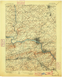
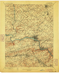
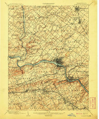
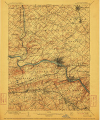
The Schuylkill River serves as the industrial and transit corridor for Montgomery County in the late 19th century, flanked by the competing lines of the Philadelphia and Reading R.R. and the Pennsylvania R.R.. This 1894 survey documents a landscape of established mill towns and emerging suburbs, centered on the dense urban grid of Norristown. Beyond the river, the terrain is defined by historic crossroads like Valley Forge and King of Prussia, while the northern reaches show a more dispersed agricultural pattern around villages such as Skippack and Worcester. Significant water crossings, including Perkiomen Bridge and Gruters Ford on Perkiomen Creek, reflect the persistent importance of early post roads and river navigation to the region's economy.
Find a feature on this map
141 named features on this map. Tap any name to fly to it.
Don’t see what you’re looking for? This feature index may not catch every label — zoom into the map to look around manually.
Map Details
Editions of this 1895 Norristown Map
11 editions found
1898 edition
16.6 x 19.9 inches
1901 edition
16.5 x 20.4 inches
1906 edition
16.6 x 20.3 inches
1908 edition
16.6 x 19.9 inches
1912 edition
16.5 x 19.9 inches
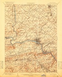
1918 edition
16 x 19.7 inches
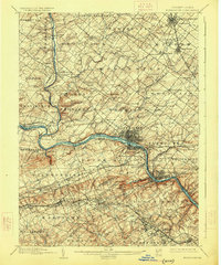
1926 edition
16.5 x 19.9 inches
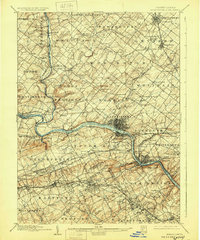
1929 edition
16.6 x 19.9 inches
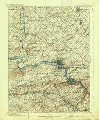
1936 edition
16.5 x 19.9 inches
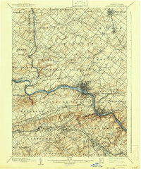
1942 edition
16.5 x 19.9 inches
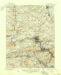
1950 edition
17 x 20.9 inches
Other maps of this area

1888 · Quakertown
USGS Topo · 1:62,500

1890 · Doylestown
USGS Topo · 1:62,500

1890 · Quakertown
USGS Topo · 1:62,500

1891 · Doylestown
USGS Topo · 1:62,500

1891 · Philadelphia
USGS Topo · 1:62,500

1893 · Germantown
USGS Topo · 1:62,500

1894 · Quakertown
USGS Topo · 1:62,500

1894 · Chester
USGS Topo · 1:62,500

1894 · Philadelphia
USGS Topo · 1:62,500

1894 · Norristown
USGS Topo · 1:62,500
Featured Places
- Philadelphia, PA
- Norristown, PA
- Radnor Township, PA
- King of Prussia, Upper Merion Township
- Whitemarsh Township, PA