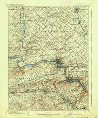
1895 Map of Norristown
USGS Topo · Published 1936About this map
The Schuylkill River carves a deep industrial and historical path through this late 19th-century landscape, anchoring the development of Montgomery County. Surveyed just before the turn of the century, the map reveals a dense network of hamlets like Center Square, Fairview Village, and Bethel Hill that served the surrounding agricultural townships. The rail infrastructure is remarkably complex for the era, featuring the Philadelphia and Reading RR, the Stony Creek RR, and the Trenton Cut-off, illustrating how steam power connected these disparate settlements to the regional economy.
Find a feature on this map
157 named features on this map. Tap any name to fly to it.
Don’t see what you’re looking for? This feature index may not catch every label — zoom into the map to look around manually.
Map Details
Editions of this 1895 Norristown Map
11 editions found

1898 edition
16.6 x 19.9 inches
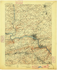
1901 edition
16.5 x 20.4 inches
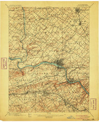
1906 edition
16.6 x 20.3 inches
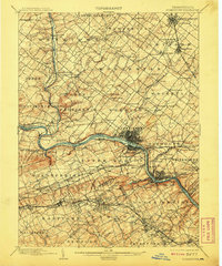
1908 edition
16.6 x 19.9 inches
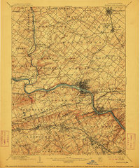
1912 edition
16.5 x 19.9 inches
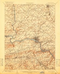
1918 edition
16 x 19.7 inches
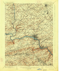
1926 edition
16.5 x 19.9 inches
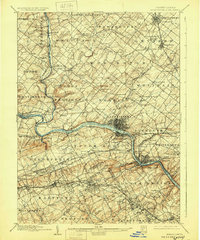
1929 edition
16.6 x 19.9 inches
1936 edition
16.5 x 19.9 inches
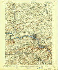
1942 edition
16.5 x 19.9 inches
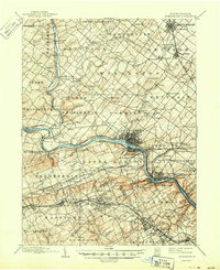
1950 edition
17 x 20.9 inches
Other maps of this area

1888 · Quakertown
USGS Topo · 1:62,500

1890 · Doylestown
USGS Topo · 1:62,500

1890 · Quakertown
USGS Topo · 1:62,500

1891 · Doylestown
USGS Topo · 1:62,500

1891 · Philadelphia
USGS Topo · 1:62,500

1893 · Germantown
USGS Topo · 1:62,500

1894 · Quakertown
USGS Topo · 1:62,500

1894 · Chester
USGS Topo · 1:62,500

1894 · Philadelphia
USGS Topo · 1:62,500

1894 · Norristown
USGS Topo · 1:62,500
Featured Places
- Philadelphia, PA
- Norristown, PA
- Radnor Township, PA
- King of Prussia, Upper Merion Township
- Whitemarsh Township, PA