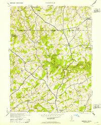
1953 Map of Norrisville
USGS Topo · Published 1953About this map
The Mason and Dixon Line serves as the prominent northern boundary of this Maryland-Pennsylvania borderland, where Harford, Baltimore, and York Counties meet. This rural landscape is defined by the winding paths of Deer Creek and Island Branch, supporting a network of early milling operations such as Amos Mill and Vory Mill. The settlement pattern reflects a stable agricultural community centered around crossroads like Norrisville, Shawsville, and Stewartstown.
Find a feature on this map
41 named features on this map. Tap any name to fly to it.
Don’t see what you’re looking for? This feature index may not catch every label — zoom into the map to look around manually.
Map Details
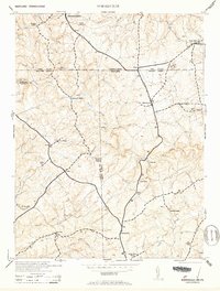
Editions of this 1953 Norrisville Map
2 editions found
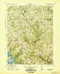
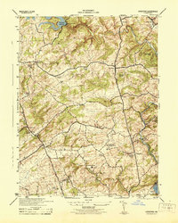
Other maps of this area

1900 · Parkton
USGS Topo · 1:62,500

1901 · Belair
USGS Topo · 1:62,500

1902 · Parkton
USGS Topo · 1:62,500

1908 · York
USGS Topo · 1:62,500

1910 · York
USGS Topo · 1:62,500

1912 · Mc Calls Ferry
USGS Topo · 1:62,500

1942 · Bel Air
USGS Topo · 1:62,500

1943 · Mc Calls Ferry
USGS Topo · 1:62,500
1944 · New Freedom
USGS Topo · 1:31,680
1944 · Hereford
USGS Topo · 1:31,680