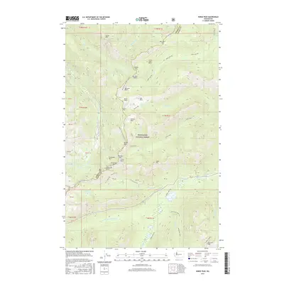
2017 Map of Norse Peak
USGS Topo · Published 2017About this map
Norse Peak stands as the central landmark in this 2017 study of the Snoqualmie National Forest landscape. The map details a high-elevation environment along the boundary of Pierce Co and Yakima Co, where the Pacific Crest National Scenic Trail traverses a series of notable ridgelines and passes including Scout Pass, Bear Gap, and Pickhandle Gap. This area is characterized by numerous alpine basins such as Bullion Basin and Big Crow Basin, which feed the headwaters of the Greenwater River and the Rainier Fork American River. The map's detail provides a look at the established trail networks, including the Crow Lake Way and Dewey Lake Way, which connect small water bodies like Basin Lake, Placer Lake, and Elizabeth Lake across the divide.
Find a feature on this map
59 named features on this map. Tap any name to fly to it.
Don’t see what you’re looking for? This feature index may not catch every label — zoom into the map to look around manually.
Map Details
Editions of this 2017 Norse Peak Map
This is the sole edition of this map. No revisions or reprints were ever made.
Other maps of this area
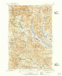
1901 · Snoqualmie Pass
USGS Topo · 1:125,000
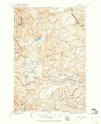
1902 · Mount Aix
USGS Topo · 1:125,000
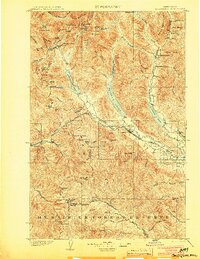
1903 · Snoqualmie
USGS Topo · 1:125,000
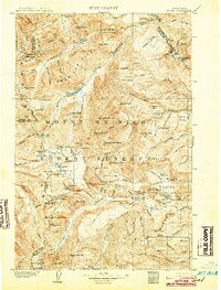
1904 · Mt Aix
USGS Topo · 1:125,000
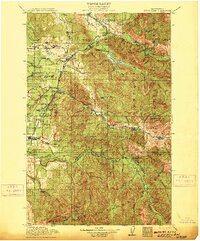
1913 · Cedar Lake
USGS Topo · 1:125,000
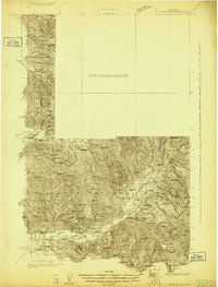
1924 · Mt Rainier
USGS Topo · 1:96,000
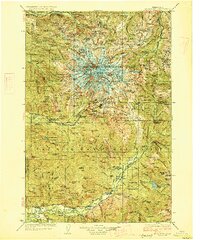
1928 · Mt Rainier
USGS Topo · 1:125,000

1950 · Yakima
USGS Topo · 1:250,000
1956 · Greenwater
USGS Topo · 1:62,500
1957 · Wenatchee
USGS Topo · 1:250,000