
1959 Map of North Avondale NE
USGS Topo · Published 1962About this map
Haynes Creek flows southward across this high plains landscape in Pueblo County, carving a path through terrain marked by intermittent water sources and surveyor benchmarks. This late 1950s survey documents a largely undeveloped rangeland, where the movement of water and livestock dictated the local geography. Significant landmarks include the Squirrel VABM 4914 triangulation station and several isolated water points such as Springs and a singular Spring located in the western sections.
Find a feature on this map
10 named features on this map. Tap any name to fly to it.
Don’t see what you’re looking for? This feature index may not catch every label — zoom into the map to look around manually.
Map Details
Editions of this 1959 North Avondale NE Map
This is the sole edition of this map. No revisions or reprints were ever made.
Other maps of this area

1891 · Nepesta
USGS Topo · 1:125,000

1893 · Nepesta
USGS Topo · 1:125,000

1893 · Big Springs
USGS Topo · 1:125,000

1904 · Nepesta
USGS Topo · 1:125,000
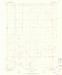
1954 · Hanover
USGS Topo · 1:24,000

1954 · Pueblo
USGS Topo · 1:250,000

1957 · Pueblo
USGS Topo · 1:250,000

1958 · Pueblo
USGS Topo · 1:250,000

1959 · Highlands Church
USGS Topo · 1:24,000
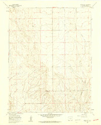
1960 · Boone Hill
USGS Topo · 1:24,000