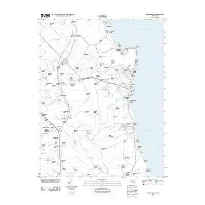
2011 Map of North Beach
USGS Topo · Published 2011About this map
Fairhaven Cliffs and Hog Point define the eastern edge of this landscape where the Western Shore meets the Chesapeake Bay. The residential development patterns of the early twenty-first century are visible in the dense street grids of North Beach and Rose Haven, contrasted with the larger agricultural and rural holdings to the west such as Trent Hall Farms. Infrastructure for local commerce and community life is anchored by the Friendship Post Office and Owings Post Office, while the historic presence of All Saints Cemetery provides a touchstone for genealogical research. The map illustrates a transition from the structured maritime neighborhoods near Holland Point to the inland tracts of Amber Woode and Paris Oaks, linked by a network of drainage systems including Hall Creek and Fishing Creek.
Find a feature on this map
190 named features on this map. Tap any name to fly to it.
Don’t see what you’re looking for? This feature index may not catch every label — zoom into the map to look around manually.
Map Details
Editions of this 2011 North Beach Map
This is the sole edition of this map. No revisions or reprints were ever made.
Other maps of this area

1892 · Prince Frederick
USGS Topo · 1:62,500

1892 · Owensville
USGS Topo · 1:62,500

1892 · Annapolis
USGS Topo · 1:62,500

1893 · Sharps Island
USGS Topo · 1:62,500

1895 · Prince Frederick
USGS Topo · 1:62,500

1895 · Owensville
USGS Topo · 1:62,500

1898 · Choptank
USGS Topo · 1:125,000

1899 · Patuxent
USGS Topo · 1:125,000

1901 · Prince Frederick
USGS Topo · 1:62,500

1904 · Annapolis
USGS Topo · 1:62,500