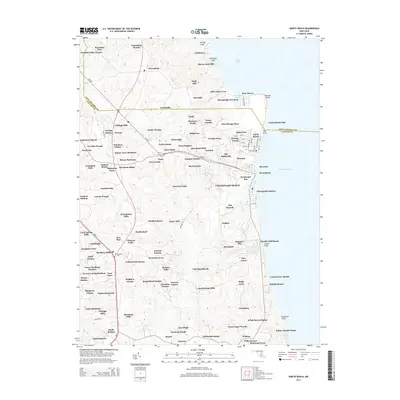
2014 Map of North Beach
USGS Topo · Published 2014About this map
Chesapeake Beach and the neighboring coastal communities of North Beach and Rose Haven line the western shore of the Chesapeake Bay on this 2014 survey. The map reveals a dense network of residential subdivisions and coastal developments, such as Old Colony Cove and Windward Key, showing how modern growth has integrated with long-established settlements like Owings and Paris. Inland, the landscape transitions into a complex series of family-named estates and tracts, including Sam Owings Place, Hutchins Choice, and Quince View Meadows, which reflect the area's agricultural and land-grant heritage.
Find a feature on this map
143 named features on this map. Tap any name to fly to it.
Don’t see what you’re looking for? This feature index may not catch every label — zoom into the map to look around manually.
Map Details
Editions of this 2014 North Beach Map
This is the sole edition of this map. No revisions or reprints were ever made.
Other maps of this area

1892 · Prince Frederick
USGS Topo · 1:62,500

1892 · Owensville
USGS Topo · 1:62,500

1892 · Annapolis
USGS Topo · 1:62,500

1893 · Sharps Island
USGS Topo · 1:62,500

1895 · Prince Frederick
USGS Topo · 1:62,500

1895 · Owensville
USGS Topo · 1:62,500

1898 · Choptank
USGS Topo · 1:125,000

1899 · Patuxent
USGS Topo · 1:125,000

1901 · Prince Frederick
USGS Topo · 1:62,500

1904 · Annapolis
USGS Topo · 1:62,500