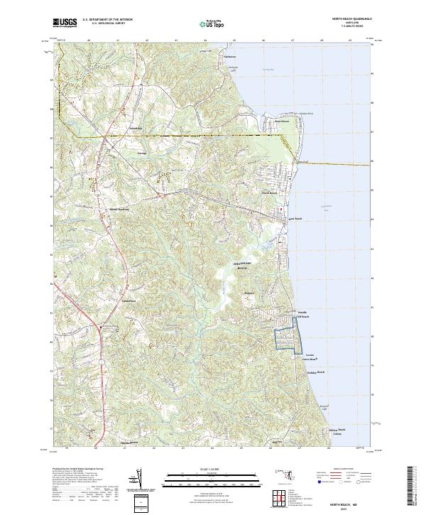
2023 Map of North Beach
USGS Topo · Published 2023About this map
All Saints Episcopal Church and its nearby Cem stand near the intersection of Solomons Island Rd and Southern Maryland Blvd, anchoring the rural landscape of northern Calvert County. The Western Shore of the Chesapeake Bay is defined here by a series of dramatic elevations, including Fairhaven Cliffs, Calvert Cliffs, and Roosevelt Cliffs, which overlook the water from Rose Haven down to Willows. This coastal orientation is reflected in the clustered developments of North Beach and West Beach, where a dense street grid meets the shoreline at Hog Point.
Find a feature on this map
158 named features on this map. Tap any name to fly to it.
Don’t see what you’re looking for? This feature index may not catch every label — zoom into the map to look around manually.
Map Details
Editions of this 2023 North Beach Map
This is the sole edition of this map. No revisions or reprints were ever made.
Other maps of this area

1892 · Prince Frederick
USGS Topo · 1:62,500

1892 · Owensville
USGS Topo · 1:62,500

1892 · Annapolis
USGS Topo · 1:62,500

1893 · Sharps Island
USGS Topo · 1:62,500

1895 · Prince Frederick
USGS Topo · 1:62,500

1895 · Owensville
USGS Topo · 1:62,500

1898 · Choptank
USGS Topo · 1:125,000

1899 · Patuxent
USGS Topo · 1:125,000

1901 · Prince Frederick
USGS Topo · 1:62,500

1904 · Annapolis
USGS Topo · 1:62,500