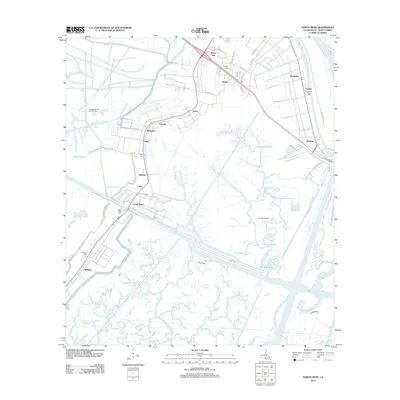
2012 Map of North Bend
USGS Topo · Published 2012About this map
Bayou Teche defines the upper right corner of this St. Mary Parish landscape, where the land transitions into an intricate network of coastal waterways and reclaimed agricultural tracts. The map details a corridor of settlements stretching from Shadyside and Maria down through Maryland and North Bend, highlighting the region's historical reliance on both water transport and the road systems following the bayou ridges. Numerous family and community burial sites, including Shadyside-Fairfax Cem, Douglas Cem, and Gratt Cem, are meticulously placed among the grid-like fields and winding coulees.
Find a feature on this map
56 named features on this map. Tap any name to fly to it.
Don’t see what you’re looking for? This feature index may not catch every label — zoom into the map to look around manually.
Map Details
Editions of this 2012 North Bend Map
This is the sole edition of this map. No revisions or reprints were ever made.
Other maps of this area

1935 · Belle Isle
USGS Topo · 1:31,680

1937 · Bayou Sale
USGS Topo · 1:62,500

1937 · Jeanerette
USGS Topo · 1:62,500

1941 · Belle Isle
USGS Topo · 1:62,500

1945 · New Orleans
USGS Topo · 1:250,000

1948 · Foster
USGS Topo · 1:62,500

1954 · Jeanerette
USGS Topo · 1:62,500

1954 · Belle Isle
USGS Topo · 1:62,500

1957 · Bayou Sale
USGS Topo · 1:62,500

1959 · Foster
USGS Topo · 1:62,500