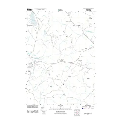
2011 Map of North Berwick
USGS Topo · Published 2011About this map
North Berwick serves as the primary hub of activity in this part of York County, where industrial legacy meets the drainage of the Great Works River. The presence of the Hussey Plow Company Dam and Douthy Falls Dam underscores a history of water-powered industry that shaped the town's center. Moving away from the village, the landscape is defined by several distinct hill clusters and upland settlements like Perkins Town, Merriland Ridge, and Tatnic.
Find a feature on this map
132 named features on this map. Tap any name to fly to it.
Don’t see what you’re looking for? This feature index may not catch every label — zoom into the map to look around manually.
Map Details
Editions of this 2011 North Berwick Map
This is the sole edition of this map. No revisions or reprints were ever made.
Other maps of this area

1891 · Berwick
USGS Topo · 1:62,500

1891 · Kennebunk
USGS Topo · 1:62,500

1893 · Kennebunk
USGS Topo · 1:62,500

1893 · Dover
USGS Topo · 1:62,500

1893 · Berwick
USGS Topo · 1:62,500

1893 · York
USGS Topo · 1:62,500

1898 · Kennebunk
USGS Topo · 1:62,500

1916 · Dover
USGS Topo · 1:62,500

1918 · Dover
USGS Topo · 1:62,500

1920 · York
USGS Topo · 1:62,500